
Country United States County Tippecanoe GNIS feature ID 442271 Zip code 47981 | State Indiana Township Randolph Elevation 224 m Local time Wednesday 5:21 AM | |
 | ||
Weather -2°C, Wind N at 18 km/h, 67% Humidity | ||
Romney is an unincorporated community in Randolph Township, Tippecanoe County, in the U.S. state of Indiana.
Contents
Map of Romney, IN 47981, USA
It has a well known equestrian facility, Foxton Farm, that was once used for fox hunting, but now houses the equestrian program at Purdue University and stables the polo ponies of the Purdue Polo Club.
The community is part of the Lafayette, Indiana Metropolitan Statistical Area.
History
Originally named Columbia, Romney received its present name from the community of Romney, West Virginia.
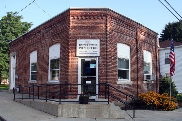
The Romney post office has been in operation since 1842.
Geography
Romney is located at 40°15'5" North, 86°54'13" West (40.251426, -86.903618) in Randolph Township, at an elevation of 738 feet.
References
Romney, Indiana Wikipedia(Text) CC BY-SA