
Country United States GNIS feature ID 453935 Area 70.84 km² Local time Friday 2:10 PM | ZIP codes 47909 Elevation 208 m Zip code 47909 Population 1,610 (2010) | |
 | ||
Weather 6°C, Wind NW at 21 km/h, 94% Humidity | ||
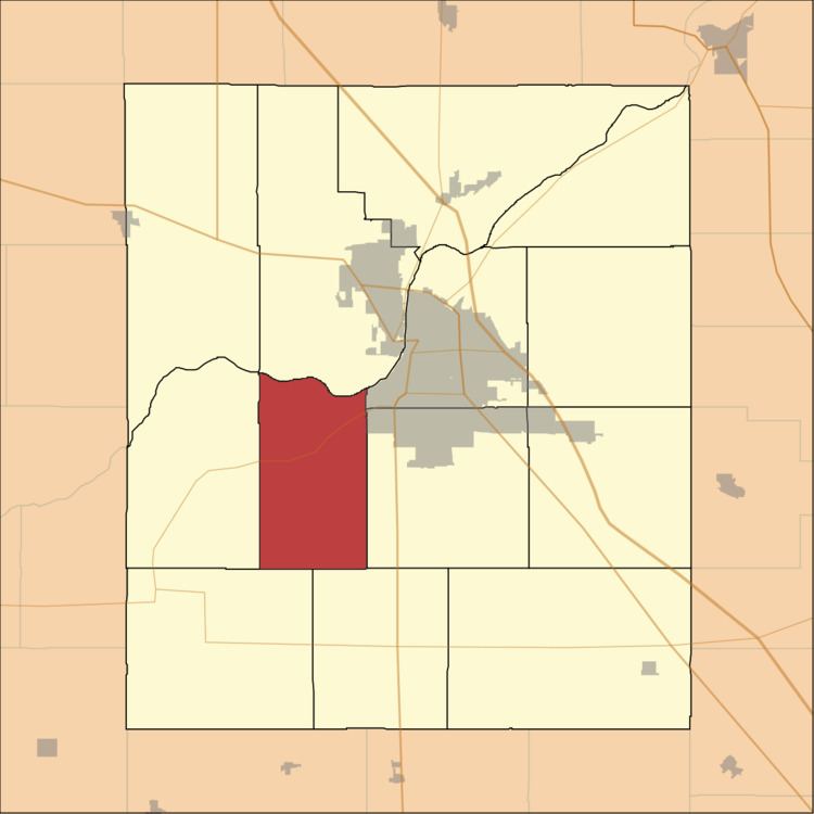
Union Township is one of thirteen townships in Tippecanoe County, Indiana, United States. As of the 2010 census, its population was 1,610 and it contained 675 housing units.
Contents
- Map of Union Township IN USA
- Geography
- Cities towns villages
- Unincorporated towns
- Adjacent townships
- Cemeteries
- Major highways
- School districts
- Political districts
- References
Map of Union Township, IN, USA
Geography
According to the 2010 census, the township has a total area of 27.35 square miles (70.8 km2), of which 27.12 square miles (70.2 km2) (or 99.16%) is land and 0.23 square miles (0.60 km2) (or 0.84%) is water. The township and the town of Shadeland share the same borders.
Cities, towns, villages
Unincorporated towns
(This list is based on USGS data and may include former settlements.)
Adjacent townships
Cemeteries
The township contains these three cemeteries: Durkee, Farmers Institute and Hickory Grove.
Major highways
School districts
Political districts
References
Union Township, Tippecanoe County, Indiana Wikipedia(Text) CC BY-SA