
 | ||
Ralitsa Glacier (Bulgarian: ледник Ралица, ‘Lednik Ralitsa’ \'led-nik 'ra-li-tsa) is the 5.5 km long and 3.5 km wide glacier on Brabant Island in the Palmer Archipelago, Antarctica, situated south of Oshane Glacier, southwest of Lister Glacier, northwest of the head of Paré Glacier and north of Palilula Glacier. It drains the northwest slopes of Mount Rokitansky in Stribog Mountains, and flows northwestwards into Guyou Bay.
Contents
The glacier is named after the settlements of Ralitsa in Northeastern and Southern Bulgaria.
Location
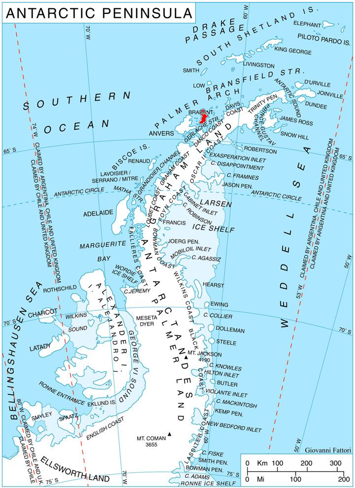
Ralitsa Glacier is centred at 64°07′10″S 62°29′20″W. British mapping in 1980 and 2008.
Maps
References
Ralitsa Glacier Wikipedia(Text) CC BY-SA