
 | ||
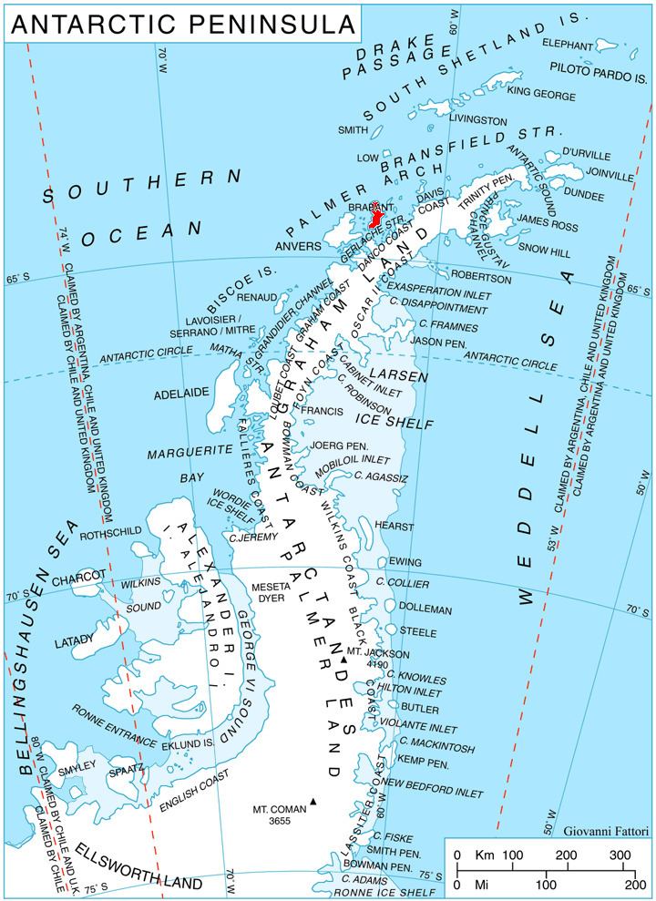
Palilula Glacier (Bulgarian: ледник Палилула, ‘Lednik Palilula’ \'led-nik pa-'li-lu-la) is the 4 km long and 1.1 km wide steep valley glacier on Brabant Island in the Palmer Archipelago, Antarctica, situated south of Ralitsa Glacier, southwest of Paré Glacier and northwest of Gorichane Glacier. It drains the southwest slopes of Mount Rokitansky in Stribog Mountains, and flows south-southwestwards into Lanusse Bay east of Driencourt Point and northwest of Baykal Point.
Contents
The glacier is named after the settlement of Palilula in Northwestern Bulgaria.
Location
Palilula Glacier is centred at 64°11′10″S 62°28′30″W. British mapping in 1980 and 2008.
Maps
References
Palilula Glacier Wikipedia(Text) CC BY-SA