
 | ||
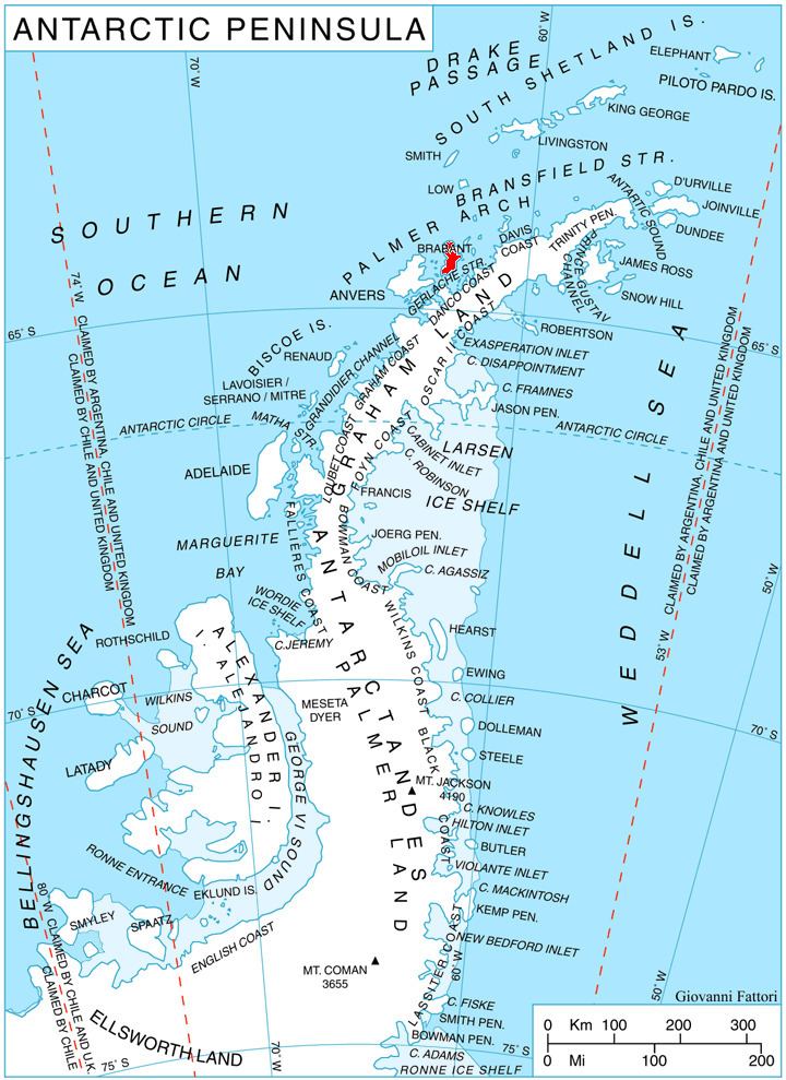
Guyou Bay (64°5′S 62°35′W) is a bay 4 nautical miles (7 km) wide, which indents the west coast of Brabant Island between Claude Point and Metchnikoff Point, in the Palmer Archipelago, Antarctica. Its head is fed by Dodelen, Oshane and Ralitsa Glaciers.
The bay was discovered by the French Antarctic Expedition, 1903–05, under Jean-Baptiste Charcot, who named it for Captain Emile Guyou of the French Navy, distinguished in the field of naval science and a member of the commission which published the scientific results of the expedition.
Maps
References
Guyou Bay Wikipedia(Text) CC BY-SA