
Founded by Rana Raj Singh Area rank 19 Area 4,551 km² | Named for Rana Raj Singh Time zone IST (UTC+5:30) Area code 02952 | |
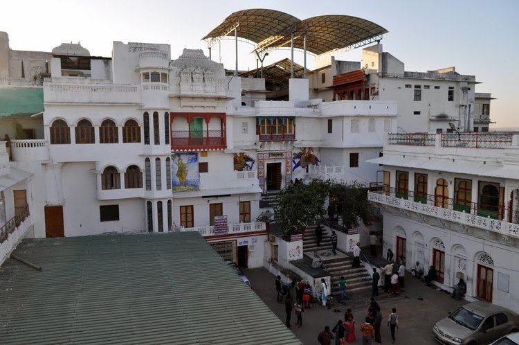 | ||
Points of interest | ||
8th foundation day in educate girls of rajsamand district
Rajsamand District is a district of the state of Rajasthan in western India.
Contents
- 8th foundation day in educate girls of rajsamand district
- Map of Rajsamand Rajasthan
- Geography
- Demographics
- References
Map of Rajsamand, Rajasthan
The town of Rajsamand is the district headquarters. The city and district are named for Rajsamand Lake, an artificial lake created in the 17th century by Rana Raj Singh of Mewar. The district had been constituted on 10 April 1991 from Udaipur district.
Geography
The district has an area of 4,768 km². The Aravalli Range forms the northwestern boundary of the district, across which lies Pali District. Ajmer District lies to the north, Bhilwara District to the northeast and east, Chittorgarh District to the southeast, and Udaipur District to the south. The district lies in the watershed of the Banas River and its tributaries. Some other rivers are: Ari, Gomati, Chandra and Bhoga.
Demographics
According to the 2011 census Rajsamand district has a population of 1,158,283, roughly equal to the nation of Timor-Leste or the US state of Rhode Island. This gives it a ranking of 405th in India (out of a total of 640). The district has a population density of 302 inhabitants per square kilometre (780/sq mi) . Its population growth rate over the decade 2001-2011 was 17.35%. Rajsamand has a sex ratio of 988 females for every 1000 males, and a literacy rate of 63.93%.