
 | ||
Colleges and Universities Mohanlal Sukhadia University Points of interest Destinations Udaipur, Major District R, Mavli, Eklingji, Zawar | ||
Udaipur District is one of the 33 districts of Rajasthan state in western India. The historic city of Udaipur is the administrative headquarters of the district. Udaipur is one of the 7 divisions in Rajasthan.
Contents
- Map of Udaipur Rajasthan
- Geography
- Economy
- Availability of Minerals
- Divisions Sub divisions Tehsils
- Demographics
- References
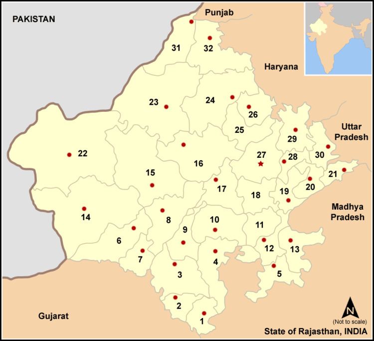
Map of Udaipur, Rajasthan
Udaipur District bounded on the northwest by the Aravalli Range, across which lie the districts of Sirohi and Pali. It is bounded on the north by Rajsamand District, on the east by Chittaurgarh District, on the southeast by Banswara District, on the south by Dungarpur District, and on the southwest by the state of Gujarat. It is part of the Mewar region of Rajasthan.
Geography
The district is generally hilly. The western portion of the district is drained by the Sabarmati River, which originates in the Aravalli Range of Udaipur District flows south into Gujarat. The northern portion of the district is drained by tributaries of the Banas River, including the Ahar River, which flows through the City of Udaipur. The southern and central portion of the district is drained by tributaries of the Mahi River, including the Som and the Gomati. Dhebar Lake, also known as Jaisamand Lake, has an area of 50 km2 (19 sq mi) when full, and was created in the 17th century when Rana Jai Singh of Udaipur built a marble dam across the Gomati.
Economy
In 2006 the Ministry of Panchayati Raj named Udaipur one of the country's 250 most backward districts (out of a total of 640). It is one of the twelve districts in Rajasthan currently receiving funds from the Backward Regions Grant Fund Programme (BRGF).
Availability of Minerals
Udaipur district is rich in mineral resources, and is home for a large variety of important minerals. The important metal and non-metallic found in the district are orc of Copper, Lead, Zinc and Silver. Besides these, other important minerals like industrial minerals rock, phosphate, asbestos, calcite, lime stone, barites, emerald and marble etc. are also abundantly available in the district.
Production of mineral 2010-11
Divisions, Sub divisions & Tehsils
Udaipur district comprises seven sub-divisions: Girwa, Kherwada, Mavli, Vallabhnagar, Kotda, Jhadol and Salumber. These sub-divisions are further divided into 11 tehsils. Girwa sub-division consists two tehsils: Girwa and Gogunda. Kherwada sub-division also comprises two tehsils: Kherwada and Rishabhdev. Each of the sub-divisions, Mavli, Vallabhnagar, Kotda and Jhadol comprises only one tehsil of same name. Salumber sub-division comprises three tehsils: Lasadia, Salumber and Sarada.
Demographics
According to the 2011 census Udaipur district has a population of 3,068,420, roughly equal to the nation of Oman or the US state of Iowa. Religious Demographics. Hindu 90%, Muslim 9%, Others 1%. This gives it a ranking of 118th in India (out of a total of 640). The district has a population density of 242 inhabitants per square kilometre (630/sq mi) . Its population growth rate over the decade 2001-2011 was 23.66%. Udaipur has a sex ratio of 958 females for every 1000 males, and a literacy rate of 62.74%.