
Country State Founded Rana Raj Singh | Language spoken Hindi District Rajsamand | |
 | ||
Map of Rajsamand
Rajsamand is a town in Rajasthan, western India. The city is named for Rajsamand Lake, an artificial lake created in the 17th century by Rana Raj Singh of Mewar. It is the administrative headquarters of Rajsamand District.
Contents
- Map of Rajsamand
- Top view of rajsamand lake from dwarikadhish temple
- Rajsamand lake rajasthan
- Geography
- Demographics
- Economy
- References
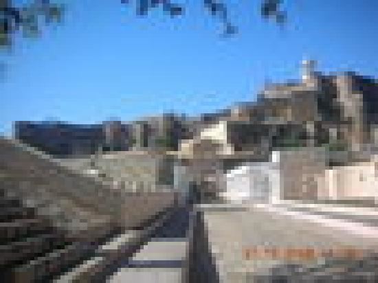
Top view of rajsamand lake from dwarikadhish temple
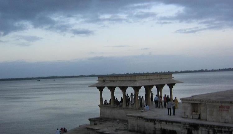
Rajsamand lake rajasthan
Geography
Rajsamand is located at 25.07°N 73.88°E / 25.07; 73.88. It has an average elevation of 547 metres (1794 ft).
Demographics
Total population of the Rajsamand district is 987,024 (493,459 male and 493,565 female). This district has a male to female ratio of nearly 1:1. Rajsamand has an average literacy rate of 67%, male literacy is 77%, and female literacy is 57%. In Rajsamand, 15% of the population is under 6 years of age.
Economy
Although most of the economy of Rajasthan is based on agriculture, this part of the state is rich in mineral resources. The area is one of the prime Indian suppliers of marble, granite and other valuable varieties of stone. The Dariba and Jawar mines are the principal Indian sources of ores for zinc, silver, manganese, etc. The majority of the population is engaged in organised and unorganised mining-related works. Others are engaged in tyre and tobacco factories.