
Country India Average annual precipitation 3,884 mm Literacy 83.9% | Area 7,152 km² Tehsil 1. | |
 | ||
Tehsils 1. Alibag, 2. Panvel, 3. Murud, 4. Pen, 5. Uran, 6. Karjat, 7. Khalapur, 8. Mangaon, 9. Roha, 10. Sudhagad, 11.Tala, 12. Mahad, 13. Mhasala, 14. Shrivardhan, 15. Poladpur Major highways National Highway 4, National Highway 17 Points of interest Destinations | ||
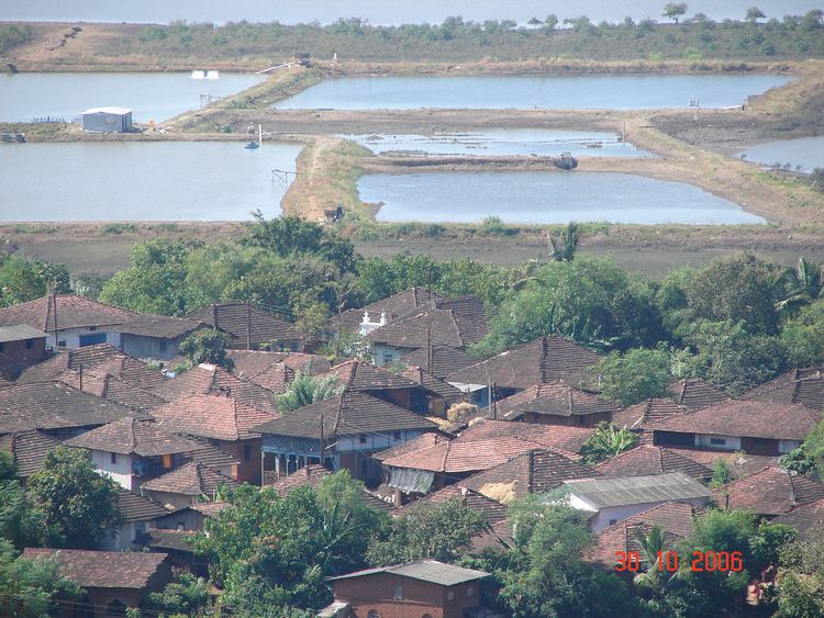
Harihareshwar raigad district maharashtra india
Raigad District is a district in the state of Maharashtra, India. Formerly called the Kolaba district, the district was renamed after Raigad, the fort that was the former capital of the Maratha leader Shivaji Maharaj, and is located in the interior regions of the district, in dense forests on a west-facing spur of the Western Ghats of Sahyadri range. In 2011 the district had a population of 2,635,394, compared to 2,207,929 in 2001. In 2011 urban dwellers had increased to 36.91% from 24.22% in 2001.
Contents
- Harihareshwar raigad district maharashtra india
- Map of Raigad Maharashtra
- Shivtharghal mahad raigad district maharashtra
- History
- Education
- Administrative subdivisions
- Demographics
- Transport
- University
- References
Map of Raigad, Maharashtra
The district is bounded by Mumbai Harbour to the northwest, Thane District to the north, Pune District to the east, Ratnagiri district to the south, and the Arabian Sea to the west. It includes the large natural harbour of Pen-Mandwa, which is immediately south of Mumbai harbour, and forming a single landform with it. The northern part of the district is included in the planned metropolis of Navi Mumbai, and its port, the Jawaharlal Nehru Port.
The district includes towns/cities of Panvel, Alibag, Mangaon, Roha, Pen, Khopoli, Kharghar, Taloja, Khalapur, Uran, Patalganga, Rasayani, Nagothana, Poladpur, Karjat and Mahad. The largest city both in area and population is Panvel. The district also includes the isle of Gharapuri or Elephanta, located in Uran which has ancient Hindu and Buddhist caves.
Shivtharghal mahad raigad district maharashtra
History
Kulaba (also spelled Kolaba) district was split from Thane district in 1869. According to the 1872 census, Kulaba district had a population of just over 350,000 people, with 94% of the population being Hindus, and most of the remaining population being Muslims. In 1881 the population was about 382,000, with 95% of the population being Hindus. Bhagat, Patil, Mhatre, Naik, Thakur, are famous and native surnames in Raigad district.
At this point the northernmost parts of modern Raigad district were retained in Thane district. Panvel, just across the bay from Mumbai, was not included in Kolaba district until 1883, and Karjat, an area in the north-east corner of modern Raigad district, was not placed in Kolaba district until 1891. Kolaba district was subsequently renamed Raigad district.
Education
After the British took over the old Colaba and this region, they established four Anglo – Vernacular medium school and 30 government schools in the year 1865–66. In the year 1861 the first school for girls was started in Alibag. The Mission Church started the first English school in Alibag in 1879. Prabhakar Patil Education Society (PNP education Society) runs 27 Institutes: Five Primary English & Marathi Schools, Twenty Seven Secondary Marathi Schools, One Arts, Science & Commerce Jr. & Sr. College, One English & Marathi Medium D. Ed College, One B. Ed. College, One Polytechnic Institute and One MMS College.
Administrative subdivisions
Raigad district is divided into four subdivisions, with fifteen talukas, and 1,967 villages.
Demographics
According to the 2011 census Raigad district has a population of 2,634,200, roughly equal to the nation of Kuwait or the US state of Nevada. This gives it a ranking of 153rd in India (out of a total of 640). The district has a population density of 368 inhabitants per square kilometre (950/sq mi) . Its population growth rate over the decade 2001-2011 was 19.36%. Raigad has a sex ratio of 955 females for every 1000 males, and a literacy rate of 83.89%.
Several scheduled tribes live in Raigad district. Among these are the Mahadev, Koli, Katkari and Thakur.
Transport
Raigad District is connected to Mumbai by Sion Panvel Expressway. The Mumbai-Pune expressway and NH4 passes through Panvel. NH 17, which starts at Panvel, traverses the whole district. The Konkan Railway line starts at Roha and passes through Mangaon and Veer. The Central Railway Line of Mumbai to Pune passes through Karjat with Extension Line for Karjat to Khopoli. Panvel Junction is the most important railway station in the district; it is connected to Mumbai (by both the Harbour Line and Main Line of Central Railway), Thane (by Trans-Harbour Line), Roha, Vasai (Western Railway) and Karjat. All trains, ranging from passengers to Rajdhanis stop here, and it is considered the gateway for travelling south. There is a narrow gauge railroad from Neral to Matheran, called the Matheran Hill Railway. The main ports are JNPT, Mandava, Revas, Murud and Shrivardhan.
University
Dr. Babasaheb Ambedkar Technological University is a unitary, autonomous university located at Lonere in Raigad district, Maharashtra, India established in 1989 under the Government of Maharashtra Act 1983. It is the one and only technical university in Maharashtra.