Country India Population 104,058 (2001) Language spoken Marathi Area 75 km2 | State District Raigad | |
Panvel is the most populated city in Raigad district in Maharashtra, India. Panvel has also been known as the gateway of Konkan region.
Contents
Map of Panvel
Geography
Panvel is situated on the banks of Panvel Creek.
History
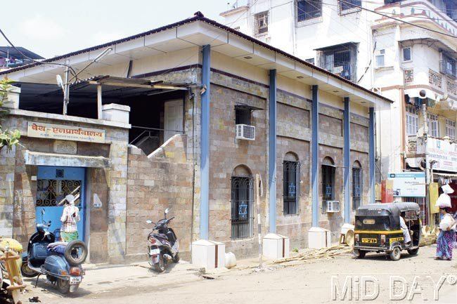
Panvel is about 300 years old, developed around trade routes (both land and sea), during the Mughal rule and hence after by the Marathas, British and the Portuguese. Once upon a time Panvel was famous for its rice market. Panvel Municipal Council (PMC) was established in the year 1852, and is the oldest municipal council of Maharashtra. Panvel Municipal Councils elections started in the year 1910. The first mayor of the PMC was Mr. Yusuf Noor Mohammed Master for the year 1910 - 1916. The sesquicentennial anniversary (150th anniversary) of the PMC was celebrated in the year 2002. The city prospered and grew due to the influence of large scale trade by land and sea. This was characterised by the large palace-like homes that came up during the Peshwa period. It is also said that old name of this city was Paneli (Panelim in Konkani). There were historic cannons (during the time of Chhatrapati Shivaji Maharaj) situated on Panvel port. And today it is a quite developed into a city