
Length 62.5 km Major cities Valcourt | Province Québec | |
 | ||
East end: | ||
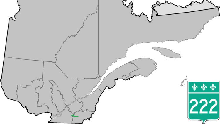
Route 222 is a provincial highway located in the Estrie region of Quebec. The 61 km (38 mi) highway runs from the junction of Route 139 in Roxton Falls and ends at the junction of Route 143 in Sherbrooke just east of Autoroute 55. It also has a brief concurrency with Route 243 in Racine.
Contents
Map of Rte 222, Qu%C3%A9bec, Canada
Municipalities along Route 222
References
Quebec Route 222 Wikipedia(Text) CC BY-SA