
Length 124.1 km | Province Québec | |
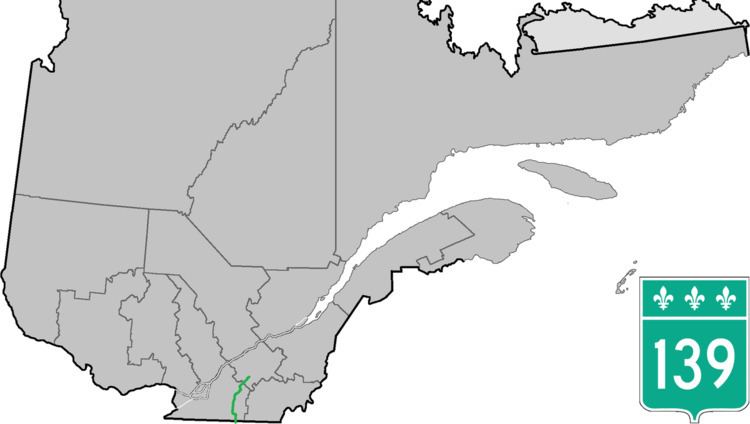 | ||
Counties: Brome-Missisquoi / La Haute-Yamaska / Acton / Drummond | ||
Route 139 is a north/south highway on the south shore of the Saint Lawrence River. Its northern terminus is in Saint-Nicéphore, now part of Drummondville, at the junction of Route 143, and the southern terminus is in Abercorn at the border with Richford, Vermont at the Richford-Abercorn Border Crossing.
Contents
Map of QC-139, Qu%C3%A9bec, Canada
Municipalities along Route 139
References
Quebec Route 139 Wikipedia(Text) CC BY-SA