
Length 55 km | Province Québec | |
 | ||
North end: A-35 / Route 104 in Saint-Jean-sur-Richelieu | ||
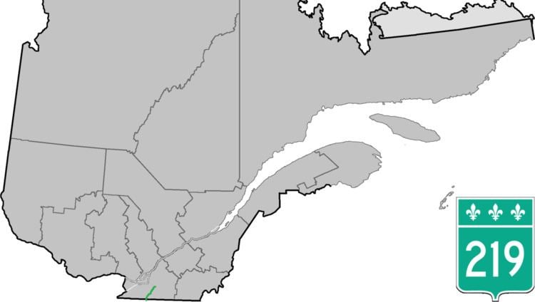
Route 219 is a provincial highway located in the Montérégie region of Quebec south of Montreal. It starts at the Mooers-Hemmingford Border Crossing south of Hemmingford and ends in Saint-Jean-sur-Richelieu.
Contents
Map of Rte 219, Qu%C3%A9bec, Canada
The highway starts at the border continuing from the former north terminus of NY 22 south of Hemmingford and north of Mooers, New York, from there it goes North through the Village and Township of Hemmingford toward Saint-Patrice-de-Sherrington. There it turns east for a 9 km concurrency with Route 221 until Napierville, where again it goes north alongside the L'Acadie River until reaching the former municipality of L'Acadie, where it turns eastward toward its terminus at a junction with Autoroute 35 in Saint-Jean-sur-Richelieu.
Municipalities along Route 219
References
Quebec Route 219 Wikipedia(Text) CC BY-SA