
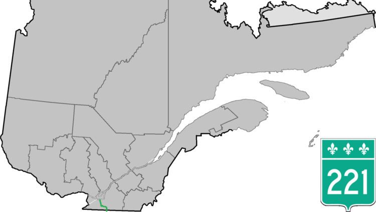
Length 64.3 km | Province Québec | |
 | ||
South end: NY 276 in Champlain, New York North end: | ||
Route 221 is a north/south highway on the south shore of the St. Lawrence River, linking the Canada–US border south of Lacolle to Saint-Isidore.
Contents
Map of QC-221, Qu%C3%A9bec, Canada
The highway begins at the Canada–US border at the Overton Corners-Lacolle 221 Border Crossing, where it connects to New York State Route 276, and goes north, having a brief concurrency with Route 202 before reaching the urban area of Lacolle. It then continues north until Napierville where it goes West concurrently with Route 219 until they separate at Saint-Patrice-de-Sherrington, where Route 221 goes north toward Saint-Édouard. There it briefly goes roughly west via Saint-Michel and Saint-Rémi before turning Northeast toward its terminus at Route 207 in the northern part of Saint-Isidore, just south of Autoroute 30.