
Congressional district At-large Website edmunds.sdcounties.org Founded 1873 Unemployment rate 2.8% (Apr 2015) Rivers Stony Run, Preachers Run | Area 2,981 km² Population 4,041 (2013) | |
 | ||
Cities | ||
Edmunds County is a county located in the U.S. state of South Dakota. As of the 2010 census, the population was 4,071. Its county seat is Ipswich. The county was established in 1873 and organized in 1883. It is named for Newton Edmunds, second Governor of Dakota Territory.
Contents
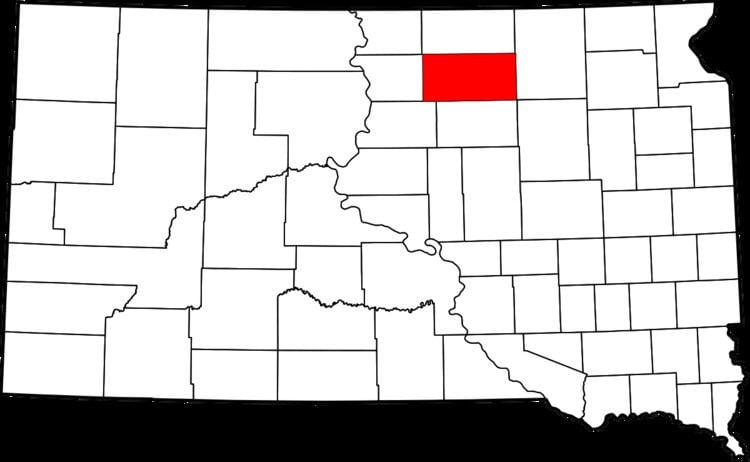
- Map of Edmunds County SD USA
- Geography
- Major highways
- Adjacent counties
- 2000 census
- 2010 census
- Notable events
- Cities
- Unincorporated communities
- Townships
- References
Map of Edmunds County, SD, USA
Edmunds County is part of the Aberdeen, SD Micropolitan Statistical Area.
Geography
According to the U.S. Census Bureau, the county has a total area of 1,151 square miles (2,980 km2), of which 1,126 square miles (2,920 km2) is land and 25 square miles (65 km2) (2.2%) is water.
Major highways
Adjacent counties
2000 census
At the 2000 census, there were 4,367 people, 1,681 households and 1,210 families residing in the county. The population density was 4 per square mile (1/km²). There were 2,022 housing units at an average density of 2 per square mile (1/km²). The racial makeup of the county was 99.20% White, 0.07% Black or African American, 0.25% Native American, 0.09% Asian, 0.02% Pacific Islander, 0.05% from other races, and 0.32% from two or more races. 0.48% of the population were Hispanic or Latino of any race. 69.4% were of German and 6.2% Norwegian ancestry.
There were 1,681 households of which 31.50% had children under the age of 18 living with them, 64.90% were married couples living together, 4.80% had a female householder with no husband present, and 28.00% were non-families. 25.60% of all households were made up of individuals and 15.00% had someone living alone who was 65 years of age or older. The average household size was 2.52 and the average family size was 3.04.
26.70% of the population were under the age of 18, 5.10% from 18 to 24, 23.30% from 25 to 44, 22.70% from 45 to 64, and 22.20% who were 65 years of age or older. The median age was 42 years. For every 100 females there were 97.20 males. For every 100 females age 18 and over, there were 94.30 males.
The median household income was $32,205 and the median family income was $37,174. Males had a median income of $26,609 and females $18,080. The per capita income was $16,149. About 10.40% of families and 13.80% of the population were below the poverty line, including 16.80% of those under age 18 and 14.00% of those age 65 or over.
2010 census
At the 2010 United States Census, there were 4,071 people, 1,607 households and 1,057 families residing in the county. The population density was 3.6 per square mile (1.4/km2). There were 1,966 housing units at an average density of 1.7 per square mile (0.66/km2). The racial makeup of the county was 97.8% white, 0.4% American Indian, 0.1% black or African American, 0.1% Asian, 0.5% from other races, and 1.0% from two or more races. Those of Hispanic or Latino origin made up 1.4% of the population. In terms of ancestry, 70.8% were German, 11.4% were Norwegian, 10.1% were Russian, 5.9% were English and 2.4% were American.
Of the 1,607 households, 26.4% had children under the age of 18 living with them, 58.9% were married couples living together, 4.0% had a female householder with no husband present, 34.2% were non-families, and 31.0% of all households were made up of individuals. The average household size was 2.27 and the average family size was 2.84. The median age was 45.7 years.
The median household income was $47,026 and the median family income was $56,599. Males had a median income of $37,713 and females $26,287. The per capita income was $24,268. About 6.9% of families and 11.6% of the population were below the poverty line, including 11.0% of those under age 18 and 13.6% of those age 65 or over.
Notable events
Edmunds County is where the Learjet of PGA golfer Payne Stewart crashed, killing him and five others on board. The plane crashed just south of the community of Mina at the approximate coordinates of 45°25' N 98°45' W.
Cities
Unincorporated communities
Townships
The county is divided into 32 townships: