
Elevation 470 m (1,540 ft) | Microregion Meia Ponte Microregion Time zone BRT/BRST (UTC-3/-2) | |
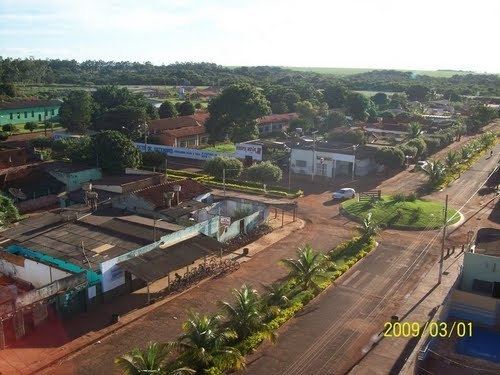 | ||
Porteirão is a municipality in south Goiás state, Brazil.
Contents
- Map of PorteirC3A3o State of GoiC3A1s Brazil
- Geographical Information
- Political Information
- Demographics
- The economy
- Education 2006
- Health 2007
- Qualtity of Life
- References
Map of Porteir%C3%A3o - State of Goi%C3%A1s, Brazil
Geographical Information
Porteirão is located in the Meia Ponte Microregion in the Rio dos Bois basin. It is connected by a state highway (27 km.) with the BR-452 highway, which connects Rio Verde with Itumbiara.
The distance to the state capital, Goiânia, is 178 km. Highway connections from Goiânia are made by GO-040 / Aragoiânia / Cromínia / GO-319 / Pontalina / GO-040 / Aloândia / BR-452 / Bom Jesus de Goiás / GO-410. For the complete list of all distances in Goiás see Seplan
Neighboring municipalities are:
Political Information
Demographics
The economy
The economy is based on agriculture, cattle raising, services, public administration, and small transformation industries.
Education (2006)
Health (2007)
Qualtity of Life
The municipality achieved a score of 0.724 on the United Nations Human Development Index (2000), ranking it 162 out of 242 municipalities in the state of Goiás. For the complete list see Frigoletto.com