
Elevation 672 m (2,205 ft) | Microregion Meia Ponte Microregion Time zone BRT/BRST (UTC-3/-2) | |
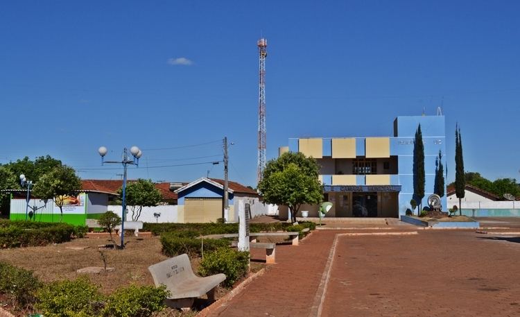 | ||
Alo ndia dia internacional da mulher
Aloândia is a municipality in south Goiás state, Brazil. The population was 2,065 in 2007 and the municipal area was 102.1 km², one of the smallest in the state of Goiás.
Contents
- Alo ndia dia internacional da mulher
- Map of AloC3A2ndia State of GoiC3A1s Brazil
- Rapel cachoeira do itamb alo ndia go
- Geographical Information
- History
- Demographic and Political Data
- The economy
- Health and education
- References
Map of Alo%C3%A2ndia - State of Goi%C3%A1s, Brazil
Rapel cachoeira do itamb alo ndia go
Geographical Information
Aloândia is located in the Meia Ponte Microregion, 35 kilometers south of Pontalina and 35 kilometers west of the important BR-135 highway, which connects São Paulo with Belém.
The distance to the state capital, Goiânia, is 132 km. Highway connections are made by BR-153 / Aparecida de Goiânia / Professor Jamil / Pontalina / GO-217 / GO -040. See Sepin
Neighboring municipalities:
History
Construction of the first houses of the settlement called São João, after a ranch nearby, began in 1941. The name was later changed to "Itambé", meaning waterfall, from the waterfalls coming down from the nearby hills. In 1948 it was elevated to district in the municipality of Pontalina with a new name, "Aloândia", meaning "praise to the light". In 1953 it became a municipality.
Demographic and Political Data
The economy
The economy is based on cattle raising, services, government organs (city government, health centers, and schools), and agriculture. the main agricultural products were bananas, hearts of palm, rice, corn, and soybeans.
In 2003 most workers were employed in public administration, defense, and social security.
Agricultural data 2006
Health and education
In 2007 there was one health clinic and 1 small hospital with 16 beds. There were 479 students in 02 primary schools.
The United Nations Human Development Index (2000) ranked Aloândia 93 out of 242 municipalities in the state of Goiás with a score of 0.744 and 2,052 out of 5,507 municipalities in Brazil. For the complete list see Frigoletto.