
Elevation 694 m (2,277 ft) | Microregion Meia Ponte Microregion Time zone BRT/BRST (UTC-3/-2) | |
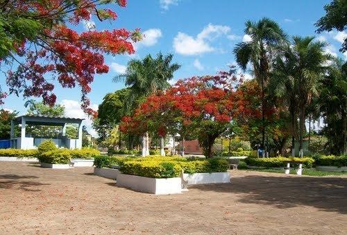 | ||
Cromínia is a municipality in south Goiás state, Brazil. It is famous for its chrome mines.
Contents
- Map of CromC3ADnia State of GoiC3A1s Brazil
- Geographical Information
- Demographics
- Economic Activities
- Education and Health
- History
- References
Map of Crom%C3%ADnia - State of Goi%C3%A1s, Brazil
Geographical Information
Cromínia is located in the Meia Ponte Microregion, which includes the cities in the Meia Ponte River basin. It is approximately 87 kilometers south of the state capital, Goiânia and is 17 kilometers west of the important BR-153 highway, which links Goiânia to Minas Gerais.
Highway connections from Goiânia are made by BR-153 / Aparecida de Goiânia / Professor Jamil / GO-217. For the complete list of all distances in Goiás see Sepin Neighboring municipalities are:
Demographics
Economic Activities
Chrome mining gave the city its name but cattle raising and agriculture have taken over from mining. Of the 298 rural proprietors 70% raise cattle and the others plant rice and corn.
Economic Indicators
Farm Data (2006)in ha.
Education and Health
History
The town began in 1940 when three landowners give land to install a town which would be called Planura Verde (Green Plain). The settlement began to grow around a football field where locals came on Sunday to watch the games and pray at the foot of a cross. Soon the first houses were built. In 1943 the Arraial (village) was elevated to the category of district of Piracanjuba. It received the name "Cromínia" due to the great quantity of chrome in the region. In 1954 the district became a municipality.
Ranking on the Municipal Human Development Index
For the complete list see Frigoletto