
 | ||
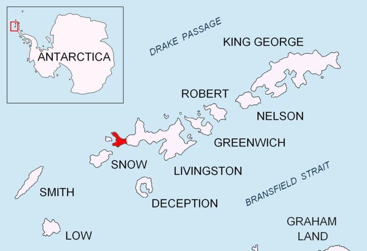
Point Smellie is a small steep-sided headland extending into Osogovo Bay from President Beaches on Byers Peninsula, Livingston Island in the South Shetland Islands, Antarctica and dominated by Smellie Hill (46 m).
Contents
The feature is named after John Smellie, BAS geologist who worked in the area in 1975-76.
Location
The point is located at 62°39′06″S 61°09′11.9″W which is 7.7 km south-southeast of Start Point, 3.89 km southwest of Chester Cone, 3.98 km northwest of Nikopol Point, 2.63 km north-northeast of Devils Point and 2.86 km southeast of Radev Point, Rugged Island (British mapping in 1968, detailed Spanish mapping in 1992, and Bulgarian mapping in 2005 and 2009).
Maps
References
Point Smellie Wikipedia(Text) CC BY-SA