
Population 0 Max length 4.8 km | Area 10.4 km² Max width 1.6 km | |
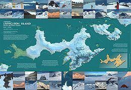 | ||
Rugged Island (in Spanish Isla Rugosa, variant historical names Lloyds Island or Ragged Island) is an island 3 miles (4.8 km) long and 1 mile (1.6 km) wide, lying west of Livingston Island in the South Shetland Islands. Its surface area is 10.4 square kilometres (4.0 sq mi). The island's summit San Stefano Peak rises to 256 metres (840 ft) above sea level. Rugged Island is located at 62°38′S 61°15′W. Rugged Island was known to both American and British sealers as early as 1820, and the name has been well established in international usage for over 100 years.
Contents
Map of Rugged Island, Antarctica
Rugged Island was first visited in 1819 by the sealing vessel Espirito Santo chartered by English merchants in Buenos Aires, and commanded by Captain Joseph Herring. The ship arrived at a bay on the north coast, known today as Hersilia Cove, where its English crew landed on Christmas Day 1819, and claimed the islands for King George III. The Espirito Santo was joined on 23 January 1820 by the American brig Hersilia commanded by Captain James Sheffield (with first mate Elof Benson and second mate Nathaniel Palmer), the first American sealer in the South Shetlands. A narrative of the events was published by Captain Herring in the July 1820 edition of the Imperial Magazine, London.