
 | ||
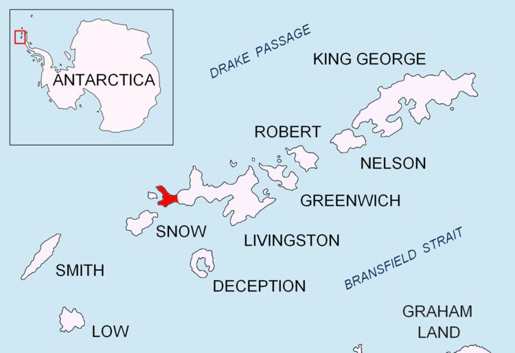
President Beaches is a series of beaches which extend for 6 nautical miles (11 km) along the broad western end of Byers Peninsula, Livingston Island in the South Shetland Islands, Antarctica between Start Point to the north and Devils Point to the south.
Contents
The name "West Beaches" was proposed by K.R. Everett, United States Antarctic Research Program (USARP) researcher who made a reconnaissance soil survey in the area during February 1969. The proposed name is locationally appropriate but would be repetitious. The Advisory Committee on Antarctic Names (US-ACAN) has chosen instead to restore a historical name to the vicinity. In the early part of the 1820-21 season, the Stonington sealers used the name "President's Harbor" (now New Plymouth) for the anchorage immediately off these beaches.
Location
The beaches are centred at 62°37′30″S 61°07′00″W (British mapping in 1968, detailed Spanish mapping in 1992, and Bulgarian mapping in 2005 and 2009).