
 | ||
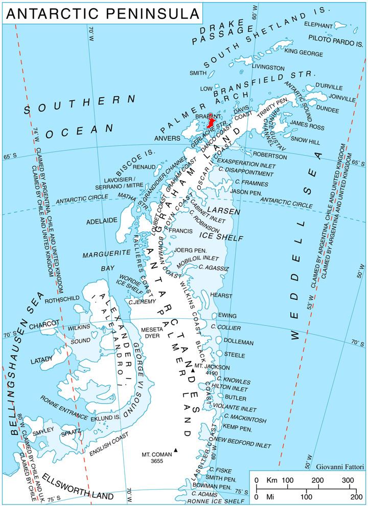
Malpighi Glacier (64°16′S 62°15′W) is a glacier 5 nautical miles (9 km) long and 1 nautical mile (2 km) wide, draining southeast from the Harvey Heights in Stribog Mountains along Basarbovo Ridge to join Mackenzie Glacier and flow into Kayak Bay at the east coast of Brabant Island, in the Palmer Archipelago, Antarctica. It was first roughly charted by the Belgian Antarctic Expedition, 1897–99, under Gerlache. The glacier was photographed by Hunting Aerosurveys Ltd in 1956–57, and mapped from these photos in 1959. It was named by the UK Antarctic Place-Names Committee for Marcello Malpighi, an Italian physiologist and pioneer histologist who first demonstrated the existence of the blood capillaries.
Contents
Map of Malpighi Glacier, Antarctica
Maps
References
Malpighi Glacier Wikipedia(Text) CC BY-SA