Plovdiv Peak (Vrah Plovdiv \'vr&h 'plov-div) is a peak rising to 1,040 m in the east extremity of Levski Ridge, Tangra Mountains, Livingston Island in the South Shetland Islands, Antarctica. The peak overlooks Magura Glacier to the south and Iskar Glacier to the north-northeast.
The peak was named after the Bulgarian city of Plovdiv.
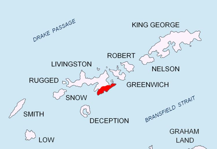
The peak is located at 62°39′12″S 60°00′35″W, which is 3.15 km east-northeast of Great Needle Peak (Pico Falsa Aguja), 1.17 km east of Helmet Peak, 3.48 km south of Yana Point, 780 m southwest of Shishman Peak, 1.92 km west of Kuber Peak and 4.22 km north of M'Kean Point and (Bulgarian mapping in 2005 and 2009).
South Shetland Islands. Scale 1:200000 topographic map No. 3373. DOS 610 – W 62 58. Tolworth, UK, 1968.Islas Livingston y Decepción. Mapa topográfico a escala 1:100000. Madrid: Servicio Geográfico del Ejército, 1991.S. Soccol, D. Gildea and J. Bath. Livingston Island, Antarctica. Scale 1:100000 satellite map. The Omega Foundation, USA, 2004.L.L. Ivanov et al., Antarctica: Livingston Island and Greenwich Island, South Shetland Islands (from English Strait to Morton Strait, with illustrations and ice-cover distribution), 1:100000 scale topographic map, Antarctic Place-names Commission of Bulgaria, Sofia, 2005L.L. Ivanov. Antarctica: Livingston Island and Greenwich, Robert, Snow and Smith Islands. Scale 1:120000 topographic map. Troyan: Manfred Wörner Foundation, 2010. ISBN 978-954-92032-9-5 (First edition 2009. ISBN 978-954-92032-6-4)Antarctic Digital Database (ADD). Scale 1:250000 topographic map of Antarctica. Scientific Committee on Antarctic Research (SCAR), 1993–2016.