
Country United States GNIS feature ID 453749 Area 91.4 km² Population 13,704 (2010) | Elevation 314 m Local time Tuesday 5:23 PM University Trine University | |
 | ||
Weather 8°C, Wind W at 27 km/h, 41% Humidity Points of interest Pokagon State Park, Zollner Golf Course, Angola Parks & Recreation | ||
Pleasant Township is one of twelve townships in Steuben County, Indiana, United States. As of the 2010 census, its population was 13,704 and it contained 6,967 housing units.
Contents
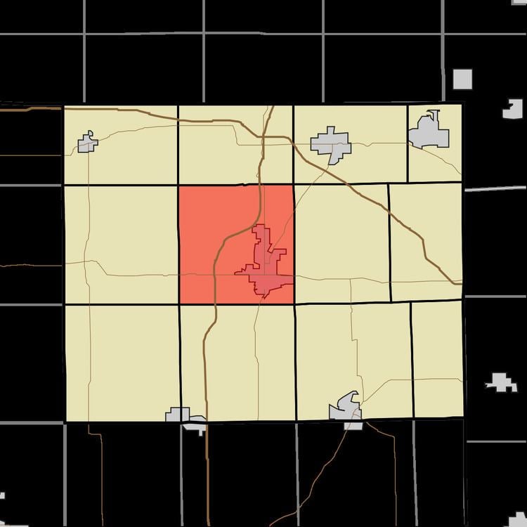
- Map of Pleasant Township IN 46703 USA
- History
- Geography
- Cities and towns
- Unincorporated towns
- Adjacent townships
- Cemeteries
- Major highways
- References
Map of Pleasant Township, IN 46703, USA
History
Fox Lake and Pokagon State Park are listed on the National Register of Historic Places.
Geography
According to the 2010 census, the township has a total area of 35.29 square miles (91.4 km2), of which 32.08 square miles (83.1 km2) (or 90.90%) is land and 3.21 square miles (8.3 km2) (or 9.10%) is water. Lakes in this township include Booth Lake, Buck Lake, Center Lake, Cheeseboro Lake, Crockett Lake, Crooked Lake, First Basin of Lake James (a.k.a. Lower Basin of Lake James), Fox Lake, Johnson Lake, Lake Charles East, Little Center Lake, Loon Lake, Middle Center Lake, Mud Lake, Second Basin of Lake James (a.k.a. Middle Basin of Lake James), and Silver Lake.
Cities and towns
Unincorporated towns
(This list is based on USGS data and may include former settlements.)
Adjacent townships
Cemeteries
The township contains four cemeteries: Circle Hill, Crockett, Old Circle Hill and Sowles.