
Country United States County Steuben Elevation 289 m Local time Wednesday 3:53 PM | State Indiana GNIS feature ID 453629 Area 61.49 km² Population 1,577 (2010) | |
 | ||
Weather 1°C, Wind E at 5 km/h, 38% Humidity | ||
Millgrove Township is one of twelve townships in Steuben County, Indiana, United States. As of the 2010 census, its population was 1,577 and it contained 990 housing units.
Contents
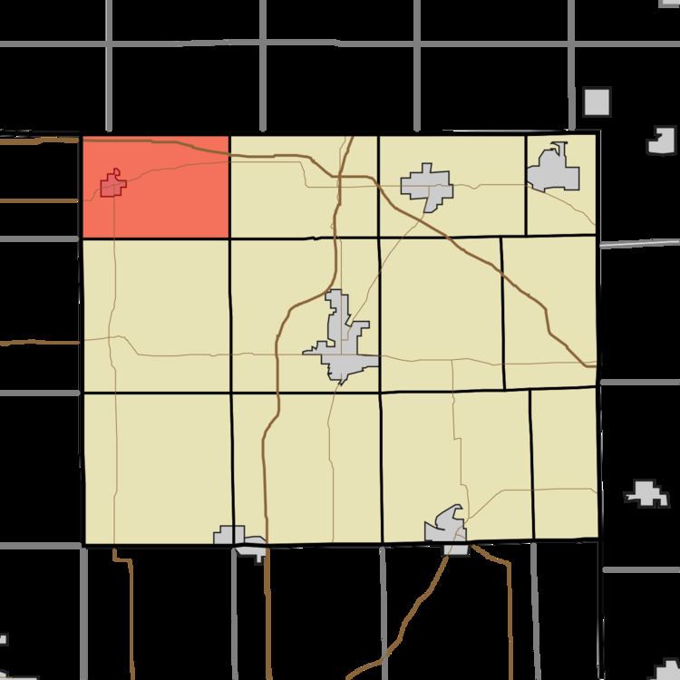
- Map of Millgrove Township IN USA
- History
- Geography
- Cities and towns
- Unincorporated towns
- Cemeteries
- Major highways
- References
Map of Millgrove Township, IN, USA
History
Fawn River State Fish Hatchery was listed on the National Register of Historic Places in 1997.
Geography
According to the 2010 census, the township has a total area of 23.74 square miles (61.5 km2), of which 22.03 square miles (57.1 km2) (or 92.80%) is land and 1.71 square miles (4.4 km2) (or 7.20%) is water. Lakes in this township include Bell Lake, Brown Lake, Chair Factory Lake, Lake Gage, Lake Syl-van, Lime Lake, Lime Lake, Perch Lake, Rhodes Lake, Sally Owen Lake, Tamarack Lake and Warner Lake. The stream of Crooked Creek runs through this township.
Cities and towns
Unincorporated towns
Cemeteries
The township contains three cemeteries: Carlton, Greenlawn and Mill Grove.