
Country United States County Clinton FIPS code 18-59004 Elevation 256 m Population 1,459 (2010) | State Indiana Organized 1834 GNIS feature ID 453718 Local time Monday 9:13 AM | |
 | ||
Weather 11°C, Wind E at 3 km/h, 93% Humidity Area 85.83 km² (85.81 km² Land / 3 ha Water) | ||
Perry Township is one of fourteen townships in Clinton County, Indiana. As of the 2010 census, its population was 1,459 and it contained 606 housing units. The township was named for Oliver Hazard Perry, an American naval officer in the War of 1812.
Contents
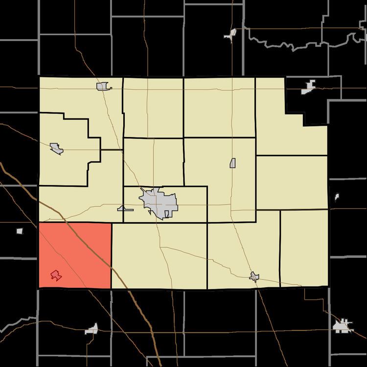
- Map of Perry Township IN USA
- History
- Geography
- Cities and towns
- Unincorporated towns
- Adjacent townships
- Major highways
- Cemeteries
- References
Map of Perry Township, IN, USA
History
The first white settler to arrive in what would become Perry Township was Elijah Rogers who erected a log cabin in 1827. The township was established in September, 1834, created from a portion of Washington Township.
Geography
According to the 2010 census, the township has a total area of 33.14 square miles (85.8 km2), of which 33.13 square miles (85.8 km2) (or 99.97%) is land and 0.01 square miles (0.026 km2) (or 0.03%) is water.
Cities and towns
Unincorporated towns
Adjacent townships
Major highways
Cemeteries
The township contains six cemeteries: Davis, Loveless, Manson, McKendra, Plainview and Shilo.