
Country United States County Clinton Founded 1874 Elevation 262 m Local time Monday 7:43 AM | State Indiana Township Perry FIPS code 18-46494 Zip code 46041 Named for Mahlon Dickerson Manson | |
 | ||
Weather 5°C, Wind SE at 29 km/h, 87% Humidity | ||
Manson is an unincorporated community in Perry Township, Clinton County, Indiana. The town is named for Mahlon Dickerson Manson, a general in the American Civil War and Lieutenant Governor of Indiana.
Contents
Map of Manson, Perry Township, IN 46041, USA
History
Manson was laid out June 30, 1874, by Lucinda Clark, David Clark and Rebecca Clark. The New Lights had a small church in Manson in the early 20th century.
Geography
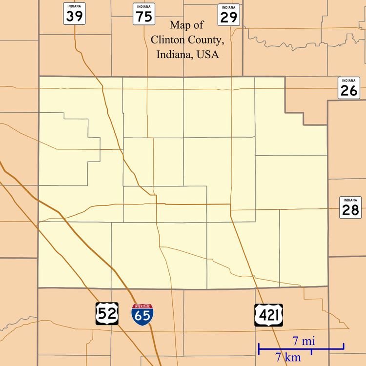
Manson is located at 40°14′24″N 86°35′25″W.
References
Manson, Indiana Wikipedia(Text) CC BY-SA