
Country United States Elevation 244 m Local time Thursday 2:28 PM | GNIS feature ID 0453883 Area 87.62 km² Population 448 (2010) | |
 | ||
ZIP codes 46035, 47930, 47933, 47940, 47955 Weather 18°C, Wind SE at 24 km/h, 73% Humidity | ||
Sugar Creek Township is one of eleven townships in Montgomery County, Indiana, United States. As of the 2010 census, its population was 448 and it contained 167 housing units.
Contents
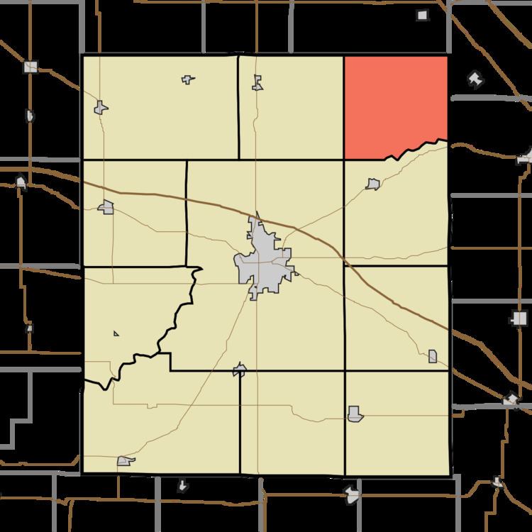
- Map of Sugar Creek Township IN USA
- History
- Geography
- Unincorporated towns
- Cemeteries
- School districts
- Political districts
- References
Map of Sugar Creek Township, IN, USA
History
William Fisher Polygonal Barn was listed on the National Register of Historic Places in 1993.
Geography
According to the 2010 census, the township has a total area of 33.83 square miles (87.6 km2), all land.
Unincorporated towns
Cemeteries
The township contains these four cemeteries: Bowers, Clouser, Peterson and Rice.
School districts
Political districts
References
Sugar Creek Township, Montgomery County, Indiana Wikipedia(Text) CC BY-SA