
Country United States County Boone GNIS feature ID 453880 Local time Thursday 2:27 PM | State Indiana FIPS code 18-73844 Elevation 248 m Population 2,243 (2010) | |
 | ||
Weather 18°C, Wind SE at 24 km/h, 73% Humidity Area 87 km² (86.95 km² Land / 8 ha Water) | ||
Sugar Creek Township is one of twelve townships in Boone County, Indiana. As of the 2010 census, its population was 2,243 and it contained 919 housing units.
Contents
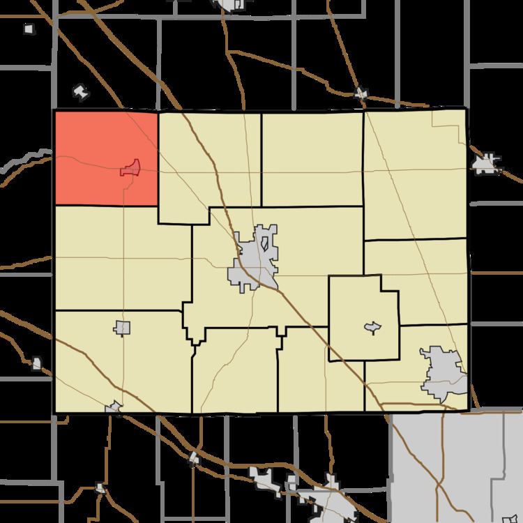
- Map of Sugar Creek Township IN USA
- Geography
- Cities and towns
- Adjacent townships
- Major highways
- Cemeteries
- References
Map of Sugar Creek Township, IN, USA
Geography
According to the 2010 census, the township has a total area of 33.59 square miles (87.0 km2), of which 33.57 square miles (86.9 km2) (or 99.94%) is land and 0.03 square miles (0.078 km2) (or 0.09%) is water. The township is named for the Sugar Creek.
Cities and towns
Adjacent townships
Major highways
Cemeteries
The township contains seven cemeteries: Gipson, Sugar Plain, Old Cemetery, Walnut Grove, Green, Curry and Maple Lawn.
References
Sugar Creek Township, Boone County, Indiana Wikipedia(Text) CC BY-SA