
Operation Hydraulic Width 7.56 m (24 ft 10 in) First built 1815 | Length 81.28 m (266 ft 8 in) Fall 1.22 m (4 ft 0 in) Latest built 1909 | |
 | ||
Similar | ||
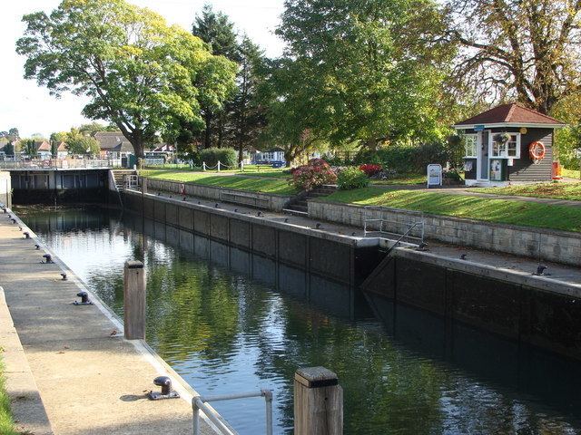
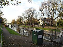
Penton hook lock
Penton Hook Lock is a lock on the River Thames in England situated on the northern "Middlesex" bank near Laleham, Surrey.
Contents
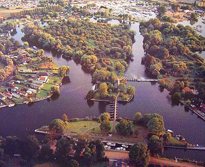
The lock cuts across a large loop or hook in the river, creating Penton Hook Island There is a large marina (Penton Hook Marina) in the disused gravel pits connected to this loop. At over 266 ft (81 m) it is the third longest lock on the river.
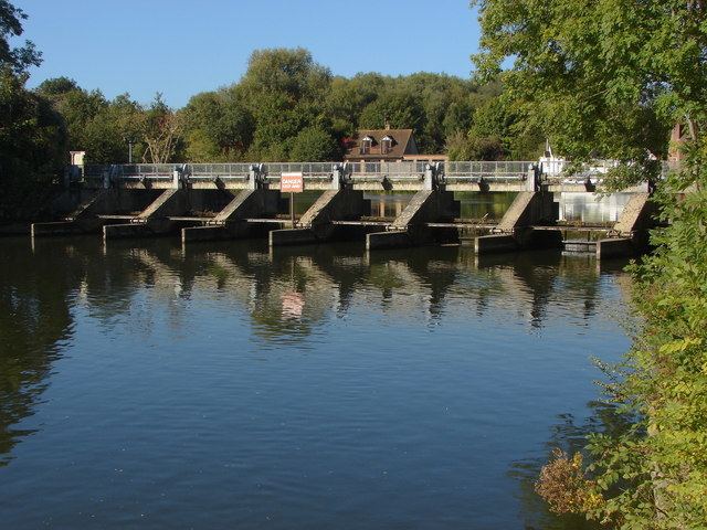
There are two weirs, which were built some time after the lock. One weir links across to Penton Hook Island, and the other from the island across the old course of the river. The former weir has a wide footpath to the island, but the footpath across the other weir is closed.
Penton hook lock
History
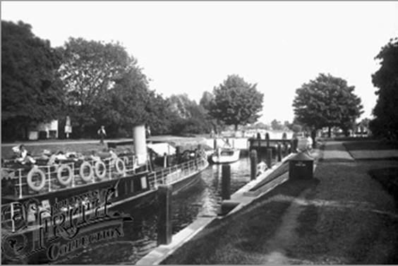
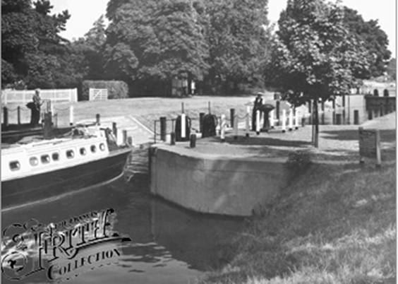
There was a history of problems to navigation caused by floodwaters bursting across the neck of the island. A lock was suggested here in 1809, and an enabling act passed in 1814. The lock was completed in 1815, two years after Chertsey Lock, to become the lock farthest upstream on the Thames which was controlled by the City of London. This is why the City's arms appear on the Lock Cottage built in 1814. The first weir was not built until 1846, positioned below the outfall of the Abbey River for the benefit of the miller. This caused problems of too strong a stream and it was relocated above the outfall. The lock was rebuilt in 1909.
Access to the lock
The lock is accessible on foot along the towpath from Staines Road coming out of Laleham or from the bottom of Penton Hook Road in Staines-upon-Thames.
Reach above the lock
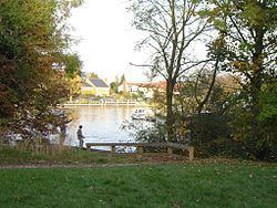
The river is built up on both sides after the lock and passes through Staines-upon-Thames. Between Staines Railway Bridge and Staines Bridge there is an open riverside area with pubs on both sides and the River Colne joins the Thames here. After the bridge on the northern side is a replica of the London Stone placed near here in 1285 to mark the upper limit of the tidal Thames and the jurisdiction of the City of London. Beside it is Church Island and a recreation area and beyond it Hollyhock Island and the wooded Holm Island. The Surrey side was formerly an industrial area with the gas works and water works, but this is being redeveloped into business parks. The M25 Runnymede Bridge crosses the river carrying the M25 motorway and the old A30 road just short of Bell Weir lock. There is a rowing club and Staines Regatta takes place on this stretch in July.
Thames Path
The Thames Path continues on the Middlesex bank as far as Staines Bridge, where it crosses over to the Surrey side until the lock.