Maintained by Network Rail Opened 1856 Number of spans 5 | No. of spans 5 Carry Waterloo–Reading line Piers in water 2 | |
 | ||
Carries Waterloo to Reading Line Height 21 feet 0 inches (6.40 m) Similar River Thames, Shiplake Railway Bridge, Appleford Railway Bridge, Bourne End Railway, M25 Runnymede Bridge | ||
Staines Railway Bridge carries the Waterloo to Reading Line across the Thames in England.
Contents
Location
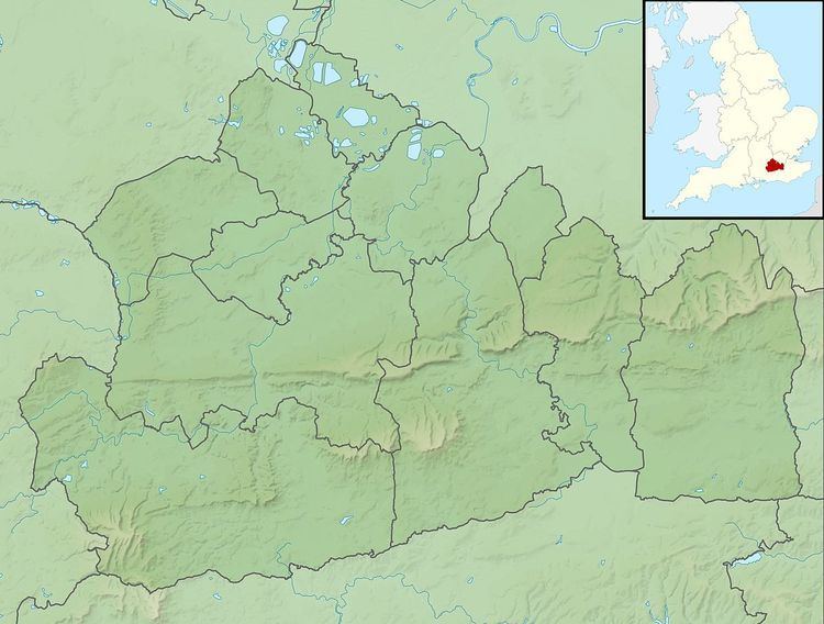
The bridge crosses Laleham Road and the river northeast to southwest from Staines-upon-Thames to Egham Hythe, Surrey, on the Staines Reach (between Penton Hook Lock and Bell Weir Lock). The main Thames Path National Trail is beneath it and southern end of the Hythe towpath on the other bank. Its linked viaducts cross various other roads including Chertsey Road (A320).
Traffic
The bridge carries the Waterloo to Reading Line and all trains serving its spur, the Weybridge or Chertsey Branch which connects this line to the four-track South Western Main Line running from London Waterloo to the far south-west, merging with the Devon and Cornwall main line. The bridge is between Staines and Egham stations. The line is low gradient and forms a sharp curve for mid-speed traffic just north-east of here, to head through part of the town centre, finishing almost due east towards London. For freight and Heritage Steam Trains which do not all call at the station within 0.5 miles (0.80 km) east, it is subject to a speed restriction appropriate to its age and condition.
The bridge was completed in 1856.
