
Length 184 mi (296 km) Trail difficulty Easy Designation National Trails | Use Hiking, cycling Season All year | |
 | ||
Location Southern England, United Kingdom Similar River Thames, Thames Barrier, North Downs Way, Chiltern Hills, Boulter's Lock | ||
The Thames Path is a National Trail following the River Thames from its source near Kemble in Gloucestershire to the Thames Barrier at Charlton, south east London. It is about 184 miles (296 km) long. A path was first proposed in 1948 but it only opened in 1996.
Contents
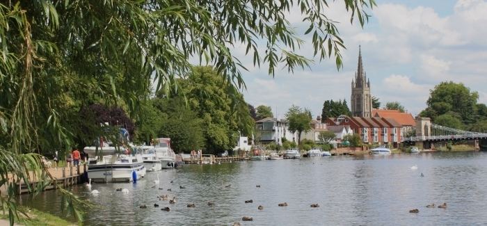
Map of Thames Path, Abingdon OX14 5EJ, UK
The path's entire length can be walked, and some parts can be cycled. Most of the path is on the original towpath but in some places it is not possible at several points where towpath traffic crossed the river using ferries. but apart from Shepperton to Weybridge Ferry The ferries no longer operate and in places such as Shiplake, Whitchurch-on-Thames and Moulsford, there are diversions away from the towpath. At other places, there are replacement connections such as at Hurley, where the Temple Footbridge was built in 1989.
Some parts of the Thames Path, particularly west of Oxford, are subject to flooding during the winter. The river is tidal downstream from Teddington Lock, and parts of the path may be under water if there is a particularly high tide.
The Thames Path Cycle Route is a black-signposted route that follows the river between Putney Bridge in the west and Greenwich in the east. It mostly follows the Thames Path, but diverges in various sections, especially where the path follows a footpath-only route. It also links National Cycle Route 1 (east of London) with National Cycle Route 4 (west of London).
Route
The route can be divided into these sections:
The path is one of the Mayor of London's Strategic walking routes.
Thames crossings
The list below shows the points going downstream where the path crosses the river between Cricklade and Teddington. Above Cricklade the Thames is a stream and in some places there may be no water except after rain. Below Teddington there are paths on both sides of the river until the Greenwich foot tunnel, after which the path is only on the south. The letter in brackets indicates whether the path downstream of that point is on the northern or southern bank (using north or south in reference to the river as a whole, rather than at that specific point). Bridges and ferries are listed in full under Crossings of the River Thames. Islands are listed under Islands in the River Thames.
The reverse direction of the path going upstream on the non-tidal part is obtainable by following the locks up from Teddington Lock. Between Teddington Lock and Lechlade the locks divide the river into reaches and a description of the reach above each lock includes the route of the Thames Path going upstream. Locks are listed under Locks on the River Thames.