
Prominence 35 m (115 ft) Listing TuMP Range Arenigs | Elevation 332 m | |
 | ||
Translation Summit above the house by the stream (Welsh) | ||
Pen Ty-Nant (English: Summit above the house by the stream) is a hill within the Snowdonia National Park in Gwynedd, North Wales.
Contents
Location and Summit View
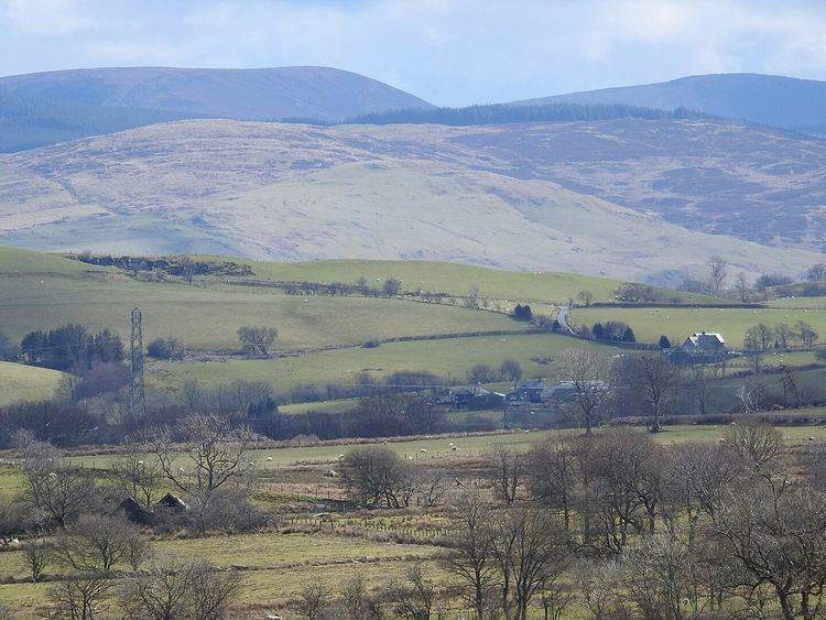
Pen Ty-Nant is a member of the Arenig range, just 1 mile (1.6 km) from the small hamlet of Rhyd-uchaf and 2.3 miles (3.7 km) from Bala. Its parent peak Arenig Fawr is approximately 5 miles (8.0 km) to the west. It is a continuation of a small ridge that begins just to the northwest of Bala and ends at Moel y Garnedd on moorland known as the Gwastadros. On a clear day Pen yr Ole Wen, a member of the Carneddau can be seen above Llyn Celyn, 22 miles (35 km) to the northwest. Carnedd y Filiast, Moel y Gydros and Moel Emoel are to the north / northeast. To the east are the Clwydian Range summits of Moel y Gamelin and Moel Morfydd, along with the closer Mynydd Mynyllod and its wind turbines near Glan-yr-afon. Cadair Berwyn, Cadair Bronwen and other peaks of the Berwyn range can be seen above Bala Lake to the east / southeast, and to the southwest, Aran Benllyn, Cadair Idris and Rhobell Fawr. The furthest features visible are Tarren y Gesail, 23 miles (37 km) away near Abergynolwyn and Cefn y Cist, a part of Esclusham Mountain, 23 miles (37 km) to the east.
Ascent
A short route to the summit begins in Rhyd-uchaf and takes approximately 45 mins for a round trip. Alternatively a bridle parth leads here from Bala. The summit is unmarked on open farmland.