
OS grid SJ176465 Prominence 382 m | Elevation 577 m Mountain range Clwydian Range Listing Marilyn | |
 | ||
Similar Foel Fenlli, Moel Fferna, Penycloddiau, Moel Eilio, Rhobell Fawr | ||
A coincidental strava kom moel y gamelin descent
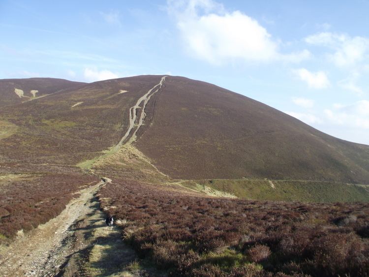
Moel y Gamelin is a hill in Denbighshire, North Wales, to the northwest of the town of Llangollen. It is the highest summit of a range which stretches eastwards from near the village of Carrog to the Horseshoe Pass (Welsh: Bwlch Oernant) traversed by the A542 road, and reaches an elevation of 577 metres (1,893 ft) above sea level. The western part of the range is known as Llantysilio Mountain whilst the eastern end is referred to as Maesyrchen Mountain. At its top is a round cairn, of unknown date, measuring about 30 metres (100 ft) in diameter and 1.8 metres (6 ft) high. It is in the Clwydian Range and Dee Valley Area of Outstanding Natural Beauty.
Contents
Map of Moel y Gamelin, Llangollen, UK
References
Moel y Gamelin Wikipedia(Text) CC BY-SA