
 | ||
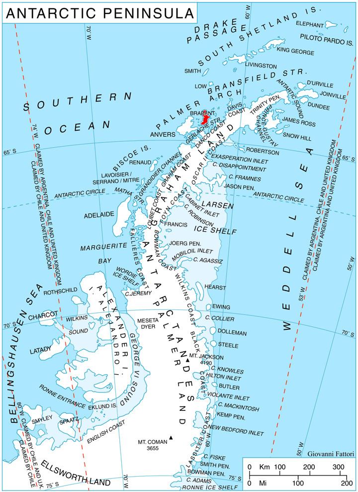
Baykal Point (Bulgarian: нос Байкал, ‘Nos Baykal’ \'nos bay-'kal) is the mostly ice-covered rocky point projecting 800 m south-southwestwards into Lanusse Bay on the west coast of Brabant Island in the Palmer Archipelago, Antarctica.
Contents
The point is named after the settlements of Baykal in Northern and Baykalsko in Western Bulgaria.
Location
Baykal Point is located at 64°12′50″S 62°29′06″W, which is 2.63 km east-southeast of Driencourt Point, 6.55 km northwest of Mount Parry and 5.4 km north-northeast of Minot Point. British mapping in 1980 and 2008.
Maps
References
Baykal Point Wikipedia(Text) CC BY-SA