
Country United States Time zone Eastern (EST) (UTC-5) Elevation 160 m Local time Tuesday 5:24 AM | State Indiana GNIS feature ID 442993 Zip code 47805 Area code 812 | |
 | ||
Weather 8°C, Wind N at 14 km/h, 83% Humidity | ||
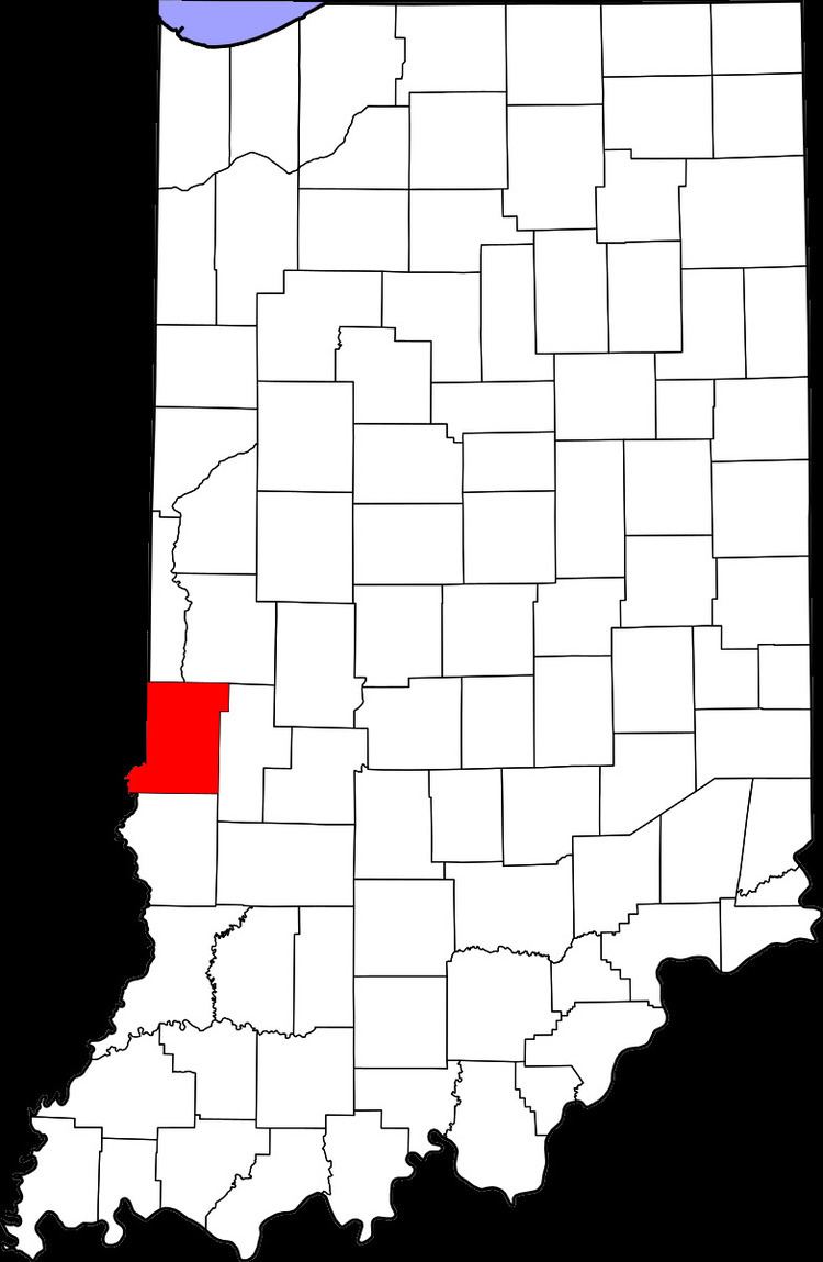
Sandcut is an unincorporated community in Otter Creek Township, Vigo County, in the U.S. state of Indiana. It is part of the Terre Haute metropolitan area. It is located at the intersection of Rio Grande Ave. and Rosedale Rd. Little Gundy Creek flows on the southeastern side of Sandcut. Sandcut also has a volunteer fire department.
Contents
Map of Sandcut, IN 47805, USA
Geography
Sandcut is located at 39°33′53″N 87°19′25″W at an elevation of 525 feet.
References
Sandcut, Indiana Wikipedia(Text) CC BY-SA