
Country United States Time zone EST (UTC-5) Elevation 161 m Local time Monday 11:36 PM | State Indiana GNIS feature ID 430321 Zip code 47874 Area code 765 | |
 | ||
Weather 8°C, Wind SE at 16 km/h, 81% Humidity | ||
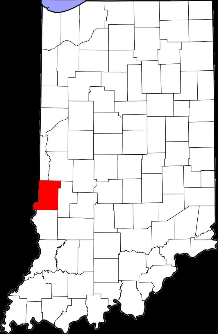
Atherton is an unincorporated community in northern Otter Creek Township, Vigo County, Indiana, USA. It is part of the Terre Haute metropolitan area.
Contents
Map of Atherton, IN 47874, USA
History
Atherton was laid out and platted October 7, 1871. The original plat was signed by Newton Rogers, Sarah A. Denny and Mary J. Rogers. The line of the north part of the plat marked the dividing line between Vigo County and Parke County. The early town was laid out around Atherton's railroad station.
A post office was established at Atherton in 1881, and remained in operation until it was discontinued in 1934.
Geography
Atherton is located at 39°36′29″N 87°21′43″W at an elevation of 528 feet.
References
Atherton, Indiana Wikipedia(Text) CC BY-SA