
 | ||
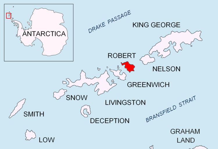
Hammer Point is a rocky point projecting from the north coast of Robert Island in the South Shetland Islands, Antarctica 1 km north-northwestwards into Drake Passage, and forming the southwest side of the entrance to Nevestino Cove and the northeast side of the entrance to Clothier Harbour. The area was visited by early 19th century sealers operating from Clothier Harbour.
Contents
The feature is descriptively named from its shape.
Location
The point is located at 62°20′23.2″S 59°39′06.4″W which is 2.08 km southwest of Catharina Point, 6.79 km west by north of Newell Point, 5.17 km northeast of Fort William and 2.24 km southeast of Heywood Island (Chilean mapping in 1962 and 1971, British in 1968, and Bulgarian in 2009).
Maps
References
Hammer Point Wikipedia(Text) CC BY-SA