
Length 18.12 km | ||
 | ||
Oregon Route 227 is an Oregon state highway which formerly ran from the city of Canyonville, Oregon to the community of Trail. In 2003, the highway was truncated at the Douglas-Jackson County line, with only the southern section remaining under state control. It is known as the Tiller-Trail Highway No. 230 (see Oregon highways and routes).
Contents
Map of OR-227, Trail, OR 97541, USA
Route description
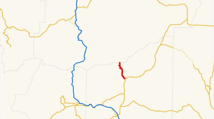
OR 227 previously began, at its western terminus, at an interchange with Interstate 5 and Oregon Route 99 in Canyonville. It headed east from there, into the foothills of the southern Oregon Cascades, along the South Fork of the Umpqua River. East of the town of Tiller, it diverges from the river, and heads south. The current highway begins at the county line, and continues southward, ending at an intersection with Oregon Route 62 in Trail.
The section from Interstate 5 to Fifth Street in Canyonville overlaps OR 99.