
Length 123.3 km | Constructed 7 August 1937 | |
 | ||
Existed: August 7, 1937 – present West end: Highway 66 near Matachewan East end: Ontario–Quebec border near Notre-Dame-du-Nord | ||
King's Highway 65, commonly referred to as Highway 65, is a provincially maintained highway in the Canadian province of Ontario. The route begins at Highway 66 and travels 123.3 kilometres (76.6 mi) southeast to the Quebec border. At its midpoint, the route is concurrent with Highway 11.
Contents
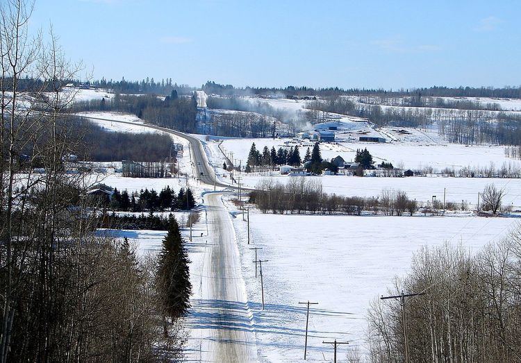
Map of ON-65, Ontario, Canada
Highway 65 was assumed in 1937 following the merger of the Department of Northern Development (DND) with the Department of Highways (DHO). It initially connected Matachewan with Highway 11 at New Liskeard, but was extended east to the Quebec border in 1956. The route has remained unchanged since.
Route description
Highway 65 travels from Highway 66 at a junction east of Matachewan, southeast to New Liskeard then northeast to the Quebec provincial border. The total length of Highway 65 is 123.3 kilometres (76.6 mi). With the exception of the community of Elk Lake, the section of the route between Highway 66 and Highway 11 passes through a remote and sparsely populated wilderness. The route becomes concurrent with Highway 11 and follows that route north for 2.7 kilometres (1.7 mi), bypassing the urban section of New Liskeard in the process. Highway 65 is entirely situated in Timiskaming District. It travels through the communities of Elk Lake, Kenabeek and New Liskeard.
The route's continuation into Quebec does not have a provincial route number, but has developed the name 'Rue Ontario' by the local town of Notre-Dame-du-Nord. Rue Ontario ends at Route 101 in Notre-Dame-du-Nord, 2.6 kilometres (1.6 mi) east of the provincial border.
Like other provincial routes in Ontario, Highway 65 is maintained by the Ministry of Transportation of Ontario. In 2010, traffic surveys conducted by the ministry showed that on average, 4,200 vehicles used the highway daily along the section between Highway 11 and Armstrong Street in New Liskeard while 190 vehicles did so each day along the section between Highway 66 and the bridge over Sydney Creek, the highest and lowest counts along the highway, respectively.
History
Highway 65 was first established on August 7, 1937, when the New Liskeard to Matachewan Road was assumed by the DHO following its merger with the DND on April 1, 1937. The route, which initially ended in the east at Highway 11 (the Ferguson Highway), was extended 22.5 kilometres (14.0 mi) east to the Ontario–Quebec border on February 22, 1956. It has remained unchanged since.
Major intersections
The following table lists the major junctions along Highway 65, as noted by the Ministry of Transportation of Ontario. The entire route is located in Timiskaming District.