
Existed: 1920 – present Constructed 1920 | Length 12.7 km | |
 | ||
King's Highway 5, commonly referred to as Highway 5 and historically as the Dundas Highway, is a provincially maintained highway in the Canadian province of Ontario. The east–west highway travels a distance of 12.7 km (7.9 mi) between Highway 8 at Peter's Corners, north of Hamilton and Highway 6 at Clappison's Corners. Prior to several sections being downloaded to the municipalities in which they reside, Highway 5 served as bypass to Highway 2, connecting with it in both Paris and Toronto, a distance of 114.3 km (71.0 mi).
Contents
- Map of ON 5 Hamilton ON Canada
- Route description
- Original construction
- Original route
- Shift of responsibility
- Recent development
- Major intersections
- References
Map of ON-5, Hamilton, ON, Canada
Highway 5 followed a significant piece of the Governor's Road, one of two routes constructed under the orders of John Graves Simcoe during his short tenure as Lieutenant Governor of Upper Canada, the other being Yonge Street. The route was adopted into the provincial highway system in 1920 and numbered as Highway 5 in 1925.
Route description
Highway 5 serves as a short connector between Highway 8 in the west and Highway 6 in the east, essentially a continuation of Highway 8. This configuration comes as a result of the truncation of both highways. The removed sections were transferred to the jurisdiction of the City of Toronto, the City of Mississauga, the Regional Municipality of Halton, the City of Hamilton, the County of Brant, and Oxford County on January 1, 1998. Prior to that, Highway 5 followed a large portion of the Governors Road between Toronto and Paris.
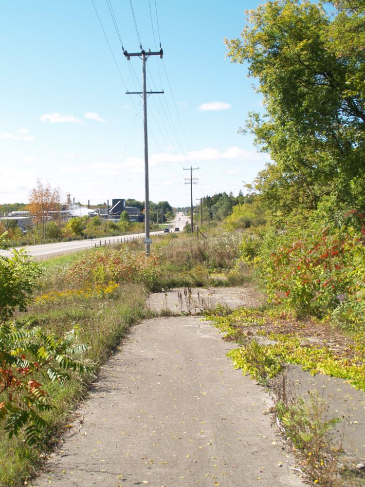
The current route of Highway 5 is almost entirely straight and rural. It passes immediately to the north of the Niagara Escarpment, a World Biosphere Reserve. South of the escarpment is the town of Dundas, once a separate settlement that has recently become a suburb of Hamilton. Both lie on the western tip of Lake Ontario.
It begins at the southern end of Highway 8 in Peter's Corners, next to the junction with former Highway 52. To the west, the road is known as Hamilton Regional Road 5 and proceeds towards Paris. Proceeding east, it passes several houses before crossing a ravine. The highway divides a forest, then becomes surrounded by farm fields on either side. It crosses Spencer Creek as it approaches Brock Road. Spencer Creek plunges over the nearby escarpment at Webster's Falls. Continuing, Highway 5 passes north of several new subdivisions and returns to a farmland setting. It passes through the rural hamlet of Rock Chapel, and then curves to the left on its final approach to Highway 6. East of Highway 6, the road becomes Halton Regional Road 5, but is more commonly known as Dundas Street.
Original construction
Highway 5 was constructed as northern alternative to Highway 2. The highway's eastern terminus was the intersection of Danforth Avenue and Kingston Road (formerly Highway 2), in the city of Toronto. The highway ran west from that point, along Danforth Avenue and Bloor Street in the city of Toronto and Dundas St. through Etobicoke, Mississauga, Oakville and Burlington. The western terminus was at the intersection of the former Highway 2 in Paris, Ontario.
Original route
From the western terminus in Paris, Ontario, through to the western boundary of Mississauga, the highway was largely a multi-lane rural road. Through Mississauga, the former Highway 5 is named Dundas Street, and is one of the busiest east-west routes in the city of nearly 700,000.
Highway 5 took on a very different description through most of Toronto. It has been described as Toronto's other "Main Street" (with Yonge Street being the primary "Main Street" of Toronto). With a very urban feel, the former highway, through most of the city, is traced underground by Toronto's only complete east-west subway line (Bloor-Danforth).
Shift of responsibility
In 1997, responsibility for portions of the highway were transferred from the province to the corresponding municipalities resulting in its current route. The former sections of the highway are now managed by the individual cities, towns, and counties they run through.
Recent development
In September 2012, MTO completed the reconstruction of the three-road junction at Peters Corners, the western terminus of Highway 5, as a roundabout with separate traffic signals for the northern (Westover Road) and southeastern (Hamilton Road 8) arms.
Major intersections
The following table lists cities historically associated with Highway 5 on Ontario's official road maps. Distances are based on the 1930s route.
Only the portion between Highways 6 and 8 remains part of the provincial highway system.
The following table lists the major junctions along Highway 5, as noted by the Ministry of Transportation of Ontario. The entire route is located in Hamilton.