
Existed: 1935 – present Length 148.9 km | Constructed 1935 | |
 | ||
Counties | ||
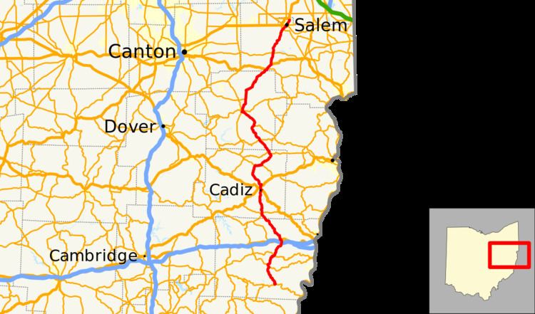
State Route 9 (SR 9) is a north–south route running through four counties in east central Ohio. Its route is 92.5 miles (148.9 km) long. The southern terminus is at SR 148 in Armstrongs Mills and the northern terminus is with US 62 north of Salem.
Contents
Map of OH-9, Ohio, USA
History
References
Ohio State Route 9 Wikipedia(Text) CC BY-SA