
Country United States Time zone Eastern (EST) (UTC-5) FIPS code 39-69834 Elevation 374 m Population 12,130 (2013) | Area code(s) 330, 234 GNIS feature ID 1045870 Zip code 44460 Local time Wednesday 7:47 AM | |
 | ||
Weather 4°C, Wind N at 10 km/h, 88% Humidity Colleges and Universities Kent State University at Salem, Allegheny Wesleyan College, Hannah E Mullins School of, Hannah E Mullins School of Points of interest Kelley Park, Salem Historical Society, Burchfield Homestead | ||
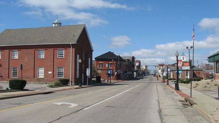
Salem is a city in northern Columbiana County and extreme southern Mahoning County, Ohio, United States. At the 2010 census, the city's population was 12,303. Salem is the principal city of the Salem, OH Micropolitan Statistical Area, while the small portion of the city that extends into Mahoning County is considered part of the Youngstown-Warren-Boardman, OH-PA Metropolitan Statistical Area.
Contents
- Map of Salem OH 44460 USA
- Rental house at 385 w pershing ave salem ohio
- Origins and settlers
- Contributions to American history
- Prosperity through industry
- National recognition of historic resources
- Geography
- 2010 census
- 2000 census
- Primary and secondary
- Postsecondary
- Notable people
- References
Map of Salem, OH 44460, USA
Rental house at 385 w pershing ave salem ohio
Origins and settlers
Salem was founded by a Pennsylvanian potter, John Straughan, and a New Jersey clockmaker, Zadok Street, in 1806. The name Salem was taken from "Jerusalem", which means "city of peace".
Early settlers to the city included the Religious Society of Friends (“Quakers”), which the school system’s sports teams honor by referring to themselves collectively as the "Quakers."
Salem was incorporated in 1830.
Contributions to American history
Active in the abolitionist movement of the early- to mid-19th century, Salem acted as a hub for the American Underground Railroad, with several homes serving as “stations.” Salem retains many of these homes, but none are open to the public at present.
Salem was a center for reform activity in several ways. The Anti-Slavery Bugle, an abolitionist newspaper, was published in Salem beginning in 1845. A local group of the Progressive Friends, an association of Quakers who separated from the main body partly so they could be freer to work for such causes as abolitionism and women's rights, was formed in Salem in 1849. The local school board at that time was composed entirely of abolitionists.
In April 1850, Salem hosted the first Women's Rights Convention in Ohio, the third such convention in the United States. (The first was the Seneca Falls Convention of 1848; the second was the Rochester Convention two weeks later.) The Salem Convention was the first of these conventions to be organized on a state-wide basis. All of the convention's officers were women. Men were not allowed to vote, sit on the platform or speak during the convention. The male spectators were supportive, however, and when the convention was over, they created an organization of their own and endorsed the actions of the women's convention.
While radio DJ Alan Freed was born in Johnstown, Pennsylvania, he grew up in Salem. While working at a radio station in Cleveland, he coined the phrase "Rock & Roll."
Prosperity through industry
Over its history, Salem thrived on an industrial-based economy, advantageously located between Cleveland and Pittsburgh. For several decades, the largest corporations located in Salem were American Standard, Eljer,Mullins Manufacturing, Deming Pump and Salem China. Today, only American Standard and several tool-and-die manufacturers remain.
National recognition of historic resources
Two sections of the city are designated National Register historic districts: the "Salem Downtown Historic District” (bounded by Vine Avenue, Ohio Avenue, East Pershing Street, South Ellsworth Avenue, and Sugar Tree Alley, designated 1995), and the "South Lincoln Avenue Historic District" (designated 1993), which includes several of the town’s monumental and architecturally distinctive homes.
Other city properties listed on the National Register of Historic Places include: the Burchfield Homestead (home to Charles Burchfield from ages five to twenty-eight), Daniel Howell Hise House (home of local Quaker abolitionist and Underground Railroad station), the (Former) Salem Methodist Episcopal Church|First United Methodist Church of Salem, and the John Street House (Underground Railroad station and home to descendant of city founder).
Geography
Salem is located at 40°54′3″N 80°51′10″W (40.900885, -80.852831).
According to the United States Census Bureau, the city has a total area of 6.43 square miles (16.65 km2), all land.
The city of Salem is mostly (see map) surrounded by Perry Township. As with other townships in Ohio, Perry Township has been subject to annexation in recent years. Residents of land annexed to the city of Salem enjoy all benefits other residents of the city enjoy, and by Ohio law are now themselves residents of the city of Salem.
Several acres of Salem Township and Green Township were annexed into the city limits in 2000 and 2001. Other actions to spur economic development undertaken around the same time annexed specific land: in 1999, 82.24 acres (332,800 m2) of Salem Township were granted police and fire protection, snow removal service, and other standard services already provided to the City of Salem by Ordinance passed by the city government.
2010 census
As of the census of 2010, there were 12,303 people, 5,272 households, and 3,118 families residing in the city. The population density was 1,913.4 inhabitants per square mile (738.8/km2). There were 5,763 housing units at an average density of 896.3 per square mile (346.1/km2). The racial makeup of the city was 95.9% White, 0.7% African American, 0.2% Native American, 0.4% Asian, 1.6% from other races, and 1.2% from two or more races. Hispanic or Latino of any race were 2.5% of the population.
There were 5,272 households of which 26.3% had children under the age of 18 living with them, 41.5% were married couples living together, 12.3% had a female householder with no husband present, 5.3% had a male householder with no wife present, and 40.9% were non-families. 34.9% of all households were made up of individuals and 15.9% had someone living alone who was 65 years of age or older. The average household size was 2.25 and the average family size was 2.87.
The median age in the city was 42.8 years. 21.2% of residents were under the age of 18; 7.7% were between the ages of 18 and 24; 23.6% were from 25 to 44; 28.3% were from 45 to 64; and 19.1% were 65 years of age or older. The gender makeup of the city was 47.9% male and 52.1% female.
2000 census
As of the census of 2000, there were 12,197 people, 5,146 households, and 3,247 families residing in the city. The population density was 2,228.2 people per square mile (860.9/km²). There were 5,505 housing units at an average density of 1,005.7 per square mile (388.6/km²). The racial makeup of the city was 98.35% White, 0.52% African American, 0.09% Native American, 0.34% Asian, 0.02% Pacific Islander, 0.08% from other races, and 0.59% from two or more races. Hispanic or Latino of any race were 0.54% of the population.
There were 5,146 households out of which 28.1% had children under the age of 18 living with them, 48.7% were married couples living together, 10.6% had a female householder with no husband present, and 36.9% were non-families. 32.8% of all households were made up of individuals and 17.1% had someone living alone who was 65 years of age or older. The average household size was 2.31 and the average family size was 2.92.
In the city the population was spread out with 22.8% under the age of 18, 8.1% from 18 to 24, 27.4% from 25 to 44, 21.6% from 45 to 64, and 20.1% who were 65 years of age or older. The median age was 40 years. For every 100 females there were 84.9 males. For every 100 females age 18 and over, there were 81.0 males.
The median income for a household in the city was $30,006, and the median income for a family was $40,191. Males had a median income of $31,630 versus $19,471 for females. The per capita income for the city was $16,579. About 9.8% of families and 11.7% of the population were below the poverty line, including 17.9% of those under age 18 and 9.8% of those age 65 or over.
Primary and secondary
Salem is served by the Salem City School District. The current schools operated by the district are:
Alternatively, the Roman Catholic Diocese of Youngstown operates the St. Paul Elementary School.
Postsecondary
Kent State University operates a satellite campus, Kent State University at Salem, with one building in the city proper and another just outside of city limits in Salem Township.