
Existed: 1924 – present Constructed 1924 | Length 374.1 km | |
 | ||
Counties Lawrence County, Ohio, Jackson County, Ohio | ||
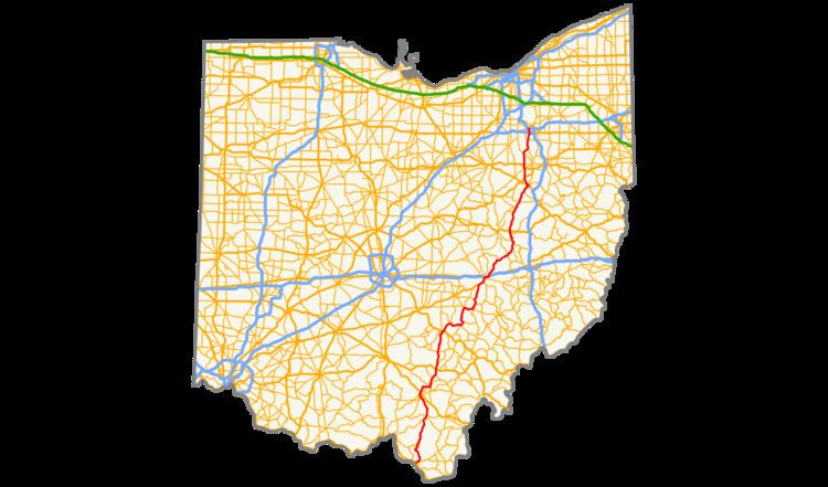
State Route 93 (SR 93) is a north–south highway that stretches from Ironton at U.S. Route 52 to State Route 261 in Akron. It is the third longest state route in Ohio. The route from Ironton to West Lafayette was once signed as State Route 75. In 1962, to eliminate confusion with an interstate in Ohio having the same number, State Route 75 was replaced by State Route 93 which had previously terminated in West Lafayette.
Contents
Map of State Rte 93, Logan, OH 43138, USA
Route description
SR 93 begins at an interchange with U.S. Route 52 in Ironton and heads north. Within a few miles, the route goes through Wayne National Forest and Lake Vesuvius. After leaving Wayne National Forest, the route enters Jackson County and the town of Oak Hill where it intersects with SR 140 and SR 279. The route passes through less hilly areas as it once did in Lawrence County. The route passes through Jackson, and in the village of Coalton, State Route 93 makes a sharp turn eastward to Wellston, where it overlaps SR 327. After Wellston, SR 93 returns on its northerly route to Hamden, McArthur, Logan, New Lexington, Crooksville, and Zanesville. Between Zanesville and Ironton, SR 93 is a busy truck route and used by many travelers as well. Leaving Zanesville, the route is less traveled heading north to Canal Fulton, whence it gradually becomes more and more traveled as it approaches the Portage Lakes region. From this point to its northern terminus, it is a road in which traffic jams are expected during rush hour.