
 | ||
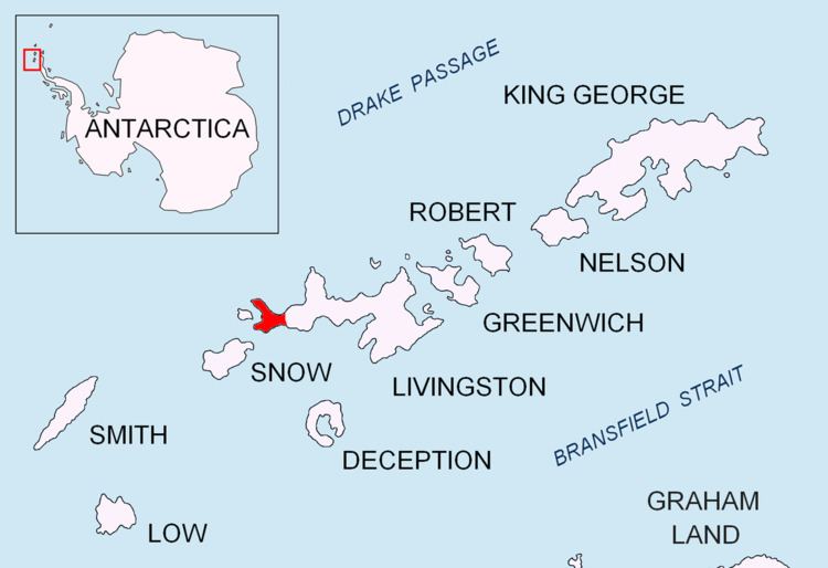
Ocoa Point is a steep headland backed by raised beach terraces at the head of New Plymouth harbour in Byers Peninsula, Livingston Island in the South Shetland Islands, Antarctica. The area was visited by 19th century sealers.
Contents
The feature was named in 1971 by the Chilean Antarctic Expedition geologists who had worked in the area, probably after a member of the expedition.
Location
The point is located at 62°37′06.9″S 61°08′25″W which is 5.1 km southeast of Start Point, 3.47 km northwest of Chester Cone, 6.24 km north-northeast of Devils Point and 3.24 km east by north of Herring Point, Rugged Island (British mapping in 1968, detailed Spanish mapping in 1992, and Bulgarian mapping in 2005 and 2009).
Maps
References
Ocoa Point Wikipedia(Text) CC BY-SA