
 | ||
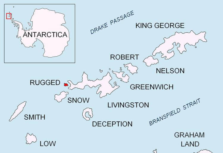
Herring Point (Bulgarian: нос Херинг, ‘Nos Herring’ \'nos 'he-ring) is a point on the north coast of Rugged Island off the west coast of Byers Peninsula of Livingston Island in the South Shetland Islands, Antarctica forming the east side of the entrance to Hersilia Cove.
Contents
The point is named after the English Captain Joseph Herring whose ship the Espirito Santo set the beginning of Antarctic sealing south of 60° south latitude in Hersilia Cove on Christmas Day 1819.
Location
Herring Point is located at 62°37′25″S 61°12′17.8″W, which is 4.89 km east-southeast of Cape Sheffield, 1.63 km east-southeast of Ivan Vladislav Point, 3.92 km south by west of Start Point and 1.31 km northwest of Vund Point. British mapping in 1968, detailed Spanish mapping in 1992, and Bulgarian mapping in 2005 and 2009.