
Length 26 km | ||
 | ||
The Nishnabotna River is a tributary of the Missouri River in southwestern Iowa, northwestern Missouri and southeastern Nebraska in the United States. It flows for most of its length as two parallel streams in Iowa, the East Nishnabotna River and the West Nishnabotna River. The east and west branches are each about 120 miles (190 km) long; from their confluence the Nishnabotna flows approximately another 16 miles (26 km).
Contents
- Map of Nishnabotna River United States
- East Nishnabotna RiverEdit
- West Nishnabotna RiverEdit
- Lower riverEdit
- RecreationEdit
- Variant namesEdit
- TriviaEdit
- References
Map of Nishnabotna River, United States
Several sections of the rivers' courses have been straightened and heavily channelized.
The name "Nishnabotna" comes from an Otoe (Chiwere) word meaning "canoe-making river."
East Nishnabotna RiverEdit
The East Nishnabotna rises in southwestern Carroll County and flows generally south-southwestwardly through Audubon, Cass, Pottawattamie, Montgomery, Page and Fremont Counties, past the towns of Exira, Brayton, Atlantic, Lewis, Elliott, Shenandoah, Red Oak and Riverton.
West Nishnabotna RiverEdit
The West Nishnabotna River rises in southwestern Carroll County and also flows generally south-southwestwardly through Crawford, Shelby, Pottawattamie, Mills and Fremont Counties, past the towns of Manning, Irwin, Kirkman, Harlan, Avoca, Hancock, Oakland and Carson. At Harlan it collects the West Fork West Nishnabotna River, which rises in southwestern Carroll County and flows southwestwardly through Crawford and Shelby Counties, past Manilla and Defiance. Near Avoca it collects the East Branch West Nishnabotna River, which rises in southwestern Carroll County and flows southwestwardly through Audubon, Shelby and Pottawattamie Counties, past Gray. The West Nishnabotna was the topic of a humorous song on the 1974 C.W. McCall albums Wolf Creek Pass and Rubber Duck.
Lower riverEdit
The East and West rivers merge in southwestern Fremont County and continue as the Nishnabotna River for its short course past Hamburg and into northwestern Atchison County, Missouri, where it flows into the Missouri River 2 mi (3 km) west of Watson.
In the last mile of the river it flows from Missouri to Nebraska and back to Missouri before entering the river in the far southwest corner of Fremont county Iowa. This is because an 1867 flood straightened a bend in the Missouri and caused the Nishnabotna to flow about two miles further to reach the Missouri. The Nishnabotna forms roughly the southeastern border of the 5,000 acre McKissick Island which was the land Nebraska and Missouri both claimed. The Supreme Court in 1904 officially drew the border with Nebraska getting the land although it is east of Nebraska's normal eastern border which is the river.
RecreationEdit
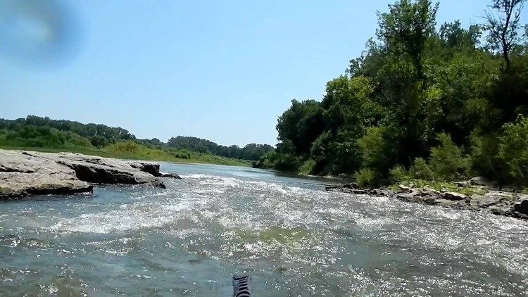
Parks along the river include Botna Bend in Hancock, Willow Slough Wildlife Management Area 3 miles southwest of Henderson, and Riverton Wildlife Management Area, just north of Riverton. Canoe rentals are available at Botna Bend. The best paddling is between Hancock and Carson on the west fork and between Lewis and Griswold on the east fork (see "Paddling Iowa" by Nate Hoogeveen). The Wabash Trace hiking trail crosses both forks. At its crossing of the west fork one can see the wreckage of a freight train that derailed and went into the drink in the 1960s.
Variant namesEdit
According to the Geographic Names Information System, the river has also been known as:
Other literature sources cite many of the above name in addition to: