
Founded 1837 Website www.crawfordcounty.org Population 17,434 (2013) University Midwestern College | Area 1,852 km² | |
 | ||
Named for William Harris Crawford Points of interest Yellow Smoke Park, Denison Aquatic Fun Center, Nelson Park, Thul Woodland | ||
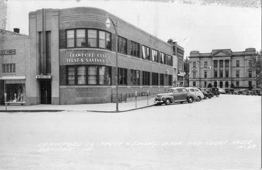
Crawford County is a county located in the U.S. state of Iowa. As of the 2010 census, the population was 17,096. Its county seat is Denison. The county was named for William Harris Crawford, U.S. senator from Georgia and United States Secretary of the Treasury.
Contents
- Map of Crawford County IA USA
- Geography
- Major highways
- Adjacent counties
- 2010 census
- 2000 census
- Townships
- Population ranking
- References
Map of Crawford County, IA, USA
Geography
According to the U.S. Census Bureau, the county has a total area of 715 square miles (1,850 km2), of which 714 square miles (1,850 km2) is land and 0.8 square miles (2.1 km2) (0.1%) is water.
Major highways
Adjacent counties
2010 census
The 2010 census recorded a population of 17,096 in the county, with a population density of 23.944/sq mi (9.245/km2). There were 6,943 housing units, of which 6,413 were occupied.
2000 census
As of the census of 2000, there were 16,942 people, 6,441 households, and 4,489 families residing in the county. The population density was 24 people per square mile (9/km²). There were 6,958 housing units at an average density of 10 per square mile (4/km²). The racial makeup of the county was 93.10% White, 0.76% Black or African American, 0.28% Native American, 0.49% Asian, 0.01% Pacific Islander, 4.59% from other races, and 0.77% from two or more races. 8.75% of the population were Hispanic or Latino of any race.
There were 6,441 households out of which 31.60% had children under the age of 18 living with them, 58.50% were married couples living together, 7.00% had a female householder with no husband present, and 30.30% were non-families. 26.20% of all households were made up of individuals and 13.10% had someone living alone who was 65 years of age or older. The average household size was 2.53 and the average family size was 3.03.
In the county, the population was spread out with 26.50% under the age of 18, 8.10% from 18 to 24, 25.70% from 25 to 44, 22.50% from 45 to 64, and 17.10% who were 65 years of age or older. The median age was 38 years. For every 100 females there were 100.90 males. For every 100 females age 18 and over, there were 98.80 males.
The median income for a household in the county was $33,922, and the median income for a family was $40,231. Males had a median income of $28,696 versus $19,798 for females. The per capita income for the county was $15,851. About 6.90% of families and 11.10% of the population were below the poverty line, including 12.70% of those under age 18 and 5.60% of those age 65 or over.
Townships
Crawford County is divided into these townships:
Population ranking
The population ranking of the following table is based on the 2010 census of Crawford County.
† county seat