
Area 1,101 km² Population 10,424 (2013) Unemployment rate 3.3% (Apr 2015) | Founded 1851 | |
 | ||
Website www.montgomerycountyiowa.com Rivers East Nishnabotna River, Tarkio River, Ramp Creek | ||
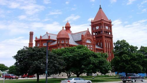
Montgomery County is a county located in the southwestern area of the U.S. state of Iowa. As of the 2010 census, the population was 10,740. Its population has declined since a peak in 1900, since urbanization and decline of family farms. The county seat is Red Oak. The county was founded by European-American migrants from eastern areas in 1851. It was named in honor of Richard Montgomery, an American Revolutionary War general killed in 1775 while trying to capture Quebec City, Canada.
Contents
- Map of Montgomery County IA USA
- Geography
- Major highways
- Adjacent counties
- 2010 census
- 2000 census
- Cities
- Unincorporated community
- Former towns
- Population ranking
- References
Map of Montgomery County, IA, USA
The county has been largely rural and devoted to agriculture. The county was first surveyed in 1852. It is famous as the location of the unsolved Villisca Axe Murders committed in 1912.
Clyde Cessna, the founder of the Cessna Aircraft Company, was born here.
Geography
According to the U.S. Census Bureau, the county has a total area of 425 square miles (1,100 km2), of which 424 square miles (1,100 km2) is land and 0.9 square miles (2.3 km2) (0.2%) is water.
Major highways
Adjacent counties
2010 census
The 2010 census recorded a population of 10,740 in the county, with a population density of 25.337/sq mi (9.783/km2). There were 5,239 housing units, of which 4,558 were occupied.
2000 census
As of the census of 2000, there were 11,771 people, 4,886 households, and 3,258 families residing in the county. The population density was 28 people per square mile (11/km²). There were 5,399 housing units at an average density of 13 per square mile (5/km²). The racial makeup of the county was 98.20% White, 0.08% Black or African American, 0.35% Native American, 0.25% Asian, 0.01% Pacific Islander, 0.68% from other races, and 0.44% from two or more races. 1.30% of the population were Hispanic or Latino of any race.
There were 4,886 households out of which 29.70% had children under the age of 18 living with them, 54.40% were married couples living together, 8.70% had a female householder with no husband present, and 33.30% were non-families. 29.50% of all households were made up of individuals and 14.70% had someone living alone who was 65 years of age or older. The average household size was 2.36 and the average family size was 2.91.
In the county, the population was spread out with 25.00% under the age of 18, 6.50% from 18 to 24, 25.50% from 25 to 44, 22.80% from 45 to 64, and 20.30% who were 65 years of age or older. The median age was 40 years. For every 100 females there were 90.20 males. For every 100 females age 18 and over, there were 87.30 males.
The median income for a household in the county was $33,214, and the median income for a family was $40,129. Males had a median income of $28,531 versus $20,835 for females. The per capita income for the county was $16,373. About 6.50% of families and 9.10% of the population were below the poverty line, including 12.30% of those under age 18 and 6.00% of those age 65 or over.
Cities
Unincorporated community
Former towns
Population ranking
The population ranking of the following table is based on the 2010 census of Montgomery County.
† county seat