
Named for Potawatomi tribe Congressional district 3rd Website www.pottcounty.com Area 2,484 km² County seat Council Bluffs | Largest city Council Bluffs Time zone Central: UTC-6/-5 Founded 1848 Population 92,728 (2013) | |
 | ||
Colleges and Universities Iowa Western Community College, E Q School of Hair Design Rivers Boyer River, Keg Creek, Mosquito Creek, Farm Creek Points of interest RailsWest Railroad Museum, Horseshoe Council Bluffs, Manawa State Park, Union Pacific Railroad, Tom Hanafan River's E | ||
Pottawattamie County is a county located in the U.S. state of Iowa. As of the 2010 census, the population was 93,158. The county takes its name from the Potawatomi Native American tribe. The county seat is Council Bluffs.
Contents
- Map of Pottawattamie County IA USA
- Geography
- National protected area
- 2010 census
- 2000 census
- Unincorporated community
- Census designated places
- Population ranking
- Law enforcement
- References
Map of Pottawattamie County, IA, USA
Pottawattamie County is included in the Omaha-Council Bluffs, NE-IA Metropolitan Statistical Area.
Geography
According to the U.S. Census Bureau, the county has a total area of 959 square miles (2,480 km2), of which 950 square miles (2,500 km2) is land and 8.9 square miles (23 km2) (0.9%) is water. It is the second-largest county in Iowa by area.
Due to movement of the Missouri River and a Supreme Court ruling, part of the county, Carter Lake, actually lies on the far side of the Missouri River. This part of the county cannot be reached by road without entering Nebraska; no direct bridge exists.
National protected area
2010 census
The 2010 census recorded a population of 93,158 in the county, with a population density of 97.6233/sq mi (37.6926/km2). There were 39,330 housing units, of which 36,775 were occupied.
2000 census
As of the census of 2000, there were 87,704 people, 33,844 households, and 23,623 families residing in the county. The population density was 92 people per square mile (35/km²). There were 35,761 housing units at an average density of 38 per square mile (14/km²). The racial makeup of the county was 95.98% White, 0.77% Black or African American, 0.37% Native American, 0.48% Asian, 0.02% Pacific Islander, 1.27% from other races, and 1.11% from two or more races. 3.30% of the population were Hispanic or Latino of any race.
There were 33,844 households out of which 32.30% had children under the age of 18 living with them, 53.60% were married couples living together, 11.80% had a female householder with no husband present, and 30.20% were non-families. 24.90% of all households were made up of individuals and 10.00% had someone living alone who was 65 years of age or older. The average household size was 2.54 and the average family size was 3.03.
In the county, the population was spread out with 26.00% under the age of 18, 9.10% from 18 to 24, 28.60% from 25 to 44, 22.70% from 45 to 64, and 13.70% who were 65 years of age or older. The median age was 36 years. For every 100 females there were 95.50 males. For every 100 females age 18 and over, there were 92.60 males.
The median income for a household in the county was $40,089, and the median income for a family was $47,105. Males had a median income of $31,642 versus $24,243 for females. The per capita income for the county was $19,275. About 6.40% of families and 8.40% of the population were below the poverty line, including 11.00% of those under age 18 and 6.30% of those age 65 or over.
Unincorporated community
Census-designated places
Population ranking
The population ranking of the following table is based on the 2010 census of Pottawattamie County.
† county seat
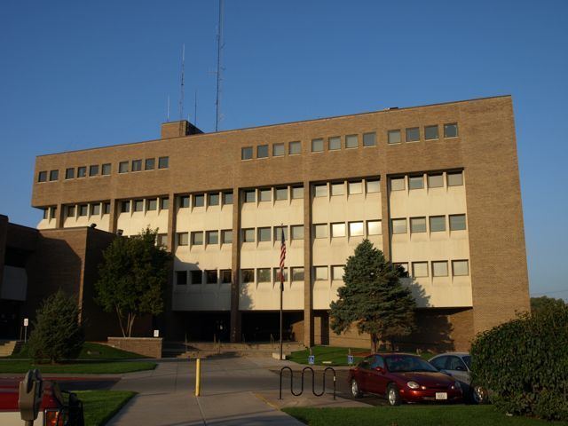
Law enforcement
Pottawattamie County is served by the Pottawattamie County Sheriff's Office consisting of 51 sworn deputies, 13 reserve deputies, 92 detention officers and 8 civilian support staff. Its headquarters is located in Council Bluffs, IA.